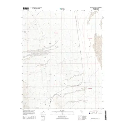
2015 Map of Maturango Peak SE
USGS Topo · Published 2015About this map
Panamint Valley Crater dominates the northwestern corner of this landscape, marking a distinct geological feature within the arid expanse of the Mojave Desert. The map details a remote desert environment defined by historic transit routes that follow the natural topography of the terrain. Several critical backcountry arteries converge or pass through this area, including Nadeau Rd, which winds through the western sections, and Trona Wildrose Rd, which serves as a primary north-south corridor through the eastern portion of the quadrangle. These roads, along with Slate Range Rd and Ballarat Rd, reflect the logistical framework required to navigate this isolated part of Inyo County, providing a clear view of the infrastructure supporting desert access and exploration in the early 21st century.
Find a feature on this map
10 named features on this map. Tap any name to fly to it.
Don’t see what you’re looking for? This feature index may not catch every label — zoom into the map to look around manually.
Map Details
Editions of this 2015 Maturango Peak SE Map
This is the sole edition of this map. No revisions or reprints were ever made.
Other maps of this area

1908 · Ballarat
USGS Topo · 1:250,000

1913 · Ballarat
USGS Topo · 1:250,000

1915 · Searles Lake
USGS Topo · 1:250,000

1947 · Trona
USGS Topo · 1:250,000

1948 · Trona
USGS Topo · 1:250,000

1948 · Death Valley
USGS Topo · 1:250,000

1949 · Trona
USGS Topo · 1:62,500

1950 · Trona
USGS Topo · 1:62,500

1950 · Manly Peak
USGS Topo · 1:62,500
1951 · Manly Peak
USGS Topo · 1:62,500