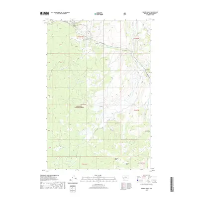
2020 Map of Maukey Gulch
USGS Topo · Published 2020About this map
Deerlodge National Forest encompasses the vast majority of this landscape in Granite County, where a complex network of drainages flows toward the larger Rock Creek system. The topography is defined by significant elevation changes, ranging from Lone Pine Ridge in the south to the deeply carved Eagle Canyon in the northeast. Water management and natural catchment are evident through features like Stephens Reservoir and Milo Lake, which anchor the central portion of the map.
Find a feature on this map
38 named features on this map. Tap any name to fly to it.
Don’t see what you’re looking for? This feature index may not catch every label — zoom into the map to look around manually.
Map Details
Editions of this 2020 Maukey Gulch Map
This is the sole edition of this map. No revisions or reprints were ever made.
Other maps of this area

1908 · Philipsburg
USGS Topo · 1:125,000

1909 · Sapphire
USGS Topo · 1:125,000

1947 · Butte
USGS Topo · 1:250,000

1958 · Butte
USGS Topo · 1:250,000

1960 · Butte
USGS Topo · 1:250,000

1962 · Butte
USGS Topo · 1:250,000

1971 · Antelope Creek
USGS Topo · 1:24,000

1971 · Potato Lakes
USGS Topo · 1:24,000
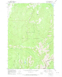
1971 · Carpp Ridge
USGS Topo · 1:24,000

1971 · Stony Creek
USGS Topo · 1:24,000