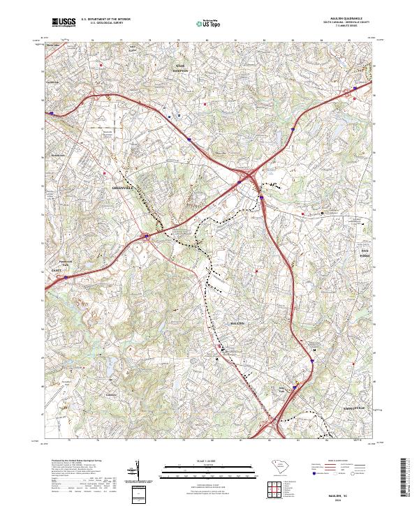
2024 Map of Mauldin
USGS Topo · Published 2024About this map
Mauldin and the surrounding suburbs of Greenville are captured here in a moment of significant 21st-century residential and industrial density. The landscape is defined by its educational and technical institutions, from Bob Jones University in the north to the Clemson University International Center for Automotive Research near the center. Aviation infrastructure is a prominent feature, with both the Greenville Downtown Airport and Donaldson Field anchoring different sectors of the quadrangle.
Find a feature on this map
80 named features on this map. Tap any name to fly to it.
Don’t see what you’re looking for? This feature index may not catch every label — zoom into the map to look around manually.
Map Details
Editions of this 2024 Mauldin Map
This is the sole edition of this map. No revisions or reprints were ever made.
Other maps of this area

1935 · Greer
USGS Topo · 1:48,000

1935 · Greenville
USGS Topo · 1:48,000

1938 · Greenville
USGS Topo · 1:62,500

1938 · Greer
USGS Topo · 1:62,500

1954 · Greenville
USGS Topo · 1:250,000

1957 · Fountain Inn
USGS Topo · 1:62,500

1957 · Greenville
USGS Topo · 1:24,000

1957 · Williamston
USGS Topo · 1:62,500

1957 · Greer
USGS Topo · 1:62,500

1957 · Greenville
USGS Topo · 1:62,500