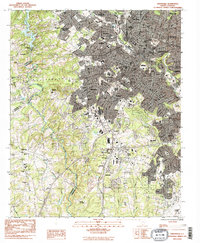
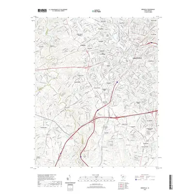
1957 Map of Greenville
USGS Topo · Published 1958About this map
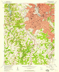
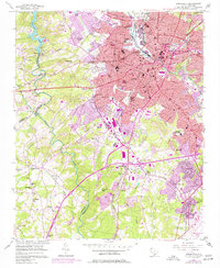
Greenville serves as the bustling industrial and educational hub of the upstate in this late-1950s survey, showing a landscape defined by its textile heritage and rapid mid-century expansion. The urban core is densely packed with landmarks such as Sirrine Stadium, the Furman University (Womens College), and the General Hospital. Surrounding the city, industrial communities like Monaghan, Woodside, and City View illustrate the traditional mill village structure, while the presence of Sterling High Sch and Blythe Sch reflects the growing residential suburbs.
Find a feature on this map
97 named features on this map. Tap any name to fly to it.
Don’t see what you’re looking for? This feature index may not catch every label — zoom into the map to look around manually.
Map Details
Editions of this 1957 Greenville Map
2 editions found
Historical Maps of Greenville Through Time
14 maps found

1935 Greenville
Greenville County, SC
1938 Greenville
Greenville County, SC
1954 Greenville
Greenville County, SC

1957 Greenville
Greenville County, SC
1957 Greenville
Greenville County, SC

1958 Greenville
Greenville County, SC
1983 Greenville
Greenville County, SC

1984 Greenville
Greenville County, SC

1991 Greenville
Greenville County, SC
2011 Greenville
Greenville County, SC
2014 Greenville
Greenville County, SC
2017 Greenville
Greenville County, SC
2020 Greenville
Greenville County, SC
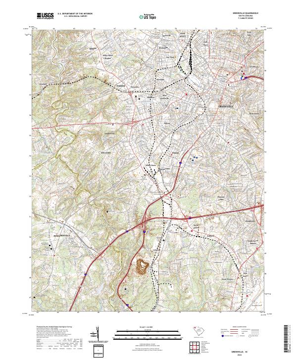
2024 Greenville
Greenville County, SC