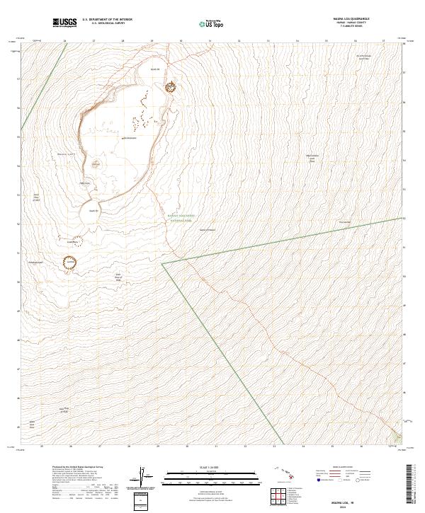
2024 Map of Mauna Loa
USGS Topo · Published 2024About this map
Mauna Loa dominates this high-altitude landscape, where the massive Mokuʖāweoweo caldera and its surrounding rift zones reveal a complex history of volcanic activity. This area within Hawaiʖi Volcanoes National Park is a testament to the island's geological evolution, featuring distinct landmarks like the 1940 Cone and the 1949 Cone atop the summit plateau.
Find a feature on this map
26 named features on this map. Tap any name to fly to it.
Don’t see what you’re looking for? This feature index may not catch every label — zoom into the map to look around manually.
Map Details
Editions of this 2024 Mauna Loa Map
This is the sole edition of this map. No revisions or reprints were ever made.
Other maps of this area

1921 · Kilauea
USGS Topo · 1:62,500

1924 · Kilauea
USGS Topo · 1:62,500

1927 · Kaohe
USGS Topo · 1:62,500

1928 · Mauna Loa
USGS Topo · 1:62,500

1930 · Humuula
USGS Topo · 1:62,500

1930 · Kaohe
USGS Topo · 1:62,500

1954 · Hawaii South
USGS Topo · 1:250,000

1954 · Hawaii North
USGS Topo · 1:250,000
1956 · Puu Ulaula
USGS Topo · 1:24,000

1956 · Puu O Uo
USGS Topo · 1:24,000