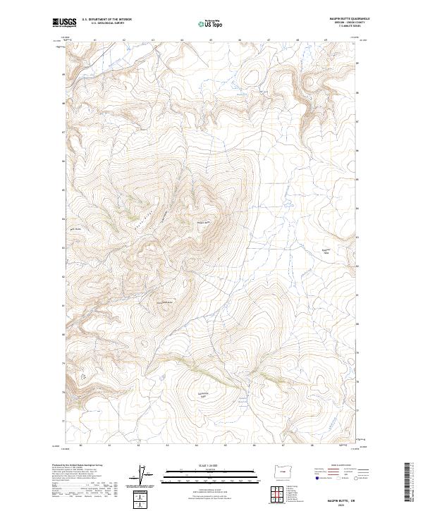
2023 Map of Maupin Butte
USGS Topo · Published 2023About this map
Beaver Creek carves through the northern reaches of this high-plateau landscape in Crook County, where the elevation rises significantly toward the central ridges. The terrain is defined by its verticality, rising from the creek drainage up toward the heights of the surrounding buttes and tables. Maupin Spring provides a critical water source in this arid environment, situated near the headwaters of seasonal drainages that feed into the larger basin. The 2023 survey illustrates a landscape primarily shaped by natural topography and water management, with several small reservoirs and stock tanks punctuating the high ground. These features, along with the network of intermittent streams, reveal the essential relationship between water access and land use in this part of Central Oregon.
Find a feature on this map
2 named features on this map. Tap any name to fly to it.
Don’t see what you’re looking for? This feature index may not catch every label — zoom into the map to look around manually.
Map Details
Editions of this 2023 Maupin Butte Map
This is the sole edition of this map. No revisions or reprints were ever made.
Other maps of this area

1932 · Dayville
USGS Topo · 1:125,000

1936 · Dayville
USGS Topo · 1:125,000

1955 · Crescent
USGS Topo · 1:250,000

1955 · Bend
USGS Topo · 1:250,000

1955 · Burns
USGS Topo · 1:250,000

1955 · Canyon City
USGS Topo · 1:250,000

1957 · Crescent
USGS Topo · 1:250,000

1957 · Bend
USGS Topo · 1:250,000

1958 · Crescent
USGS Topo · 1:250,000

1958 · Burns
USGS Topo · 1:250,000