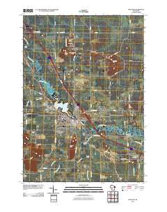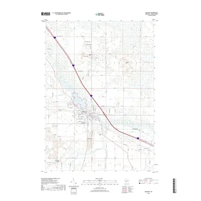
2022 Map of Mauston
USGS Topo · Published 2022About this map
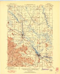
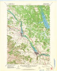
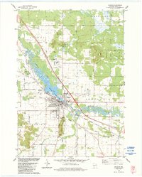
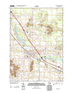
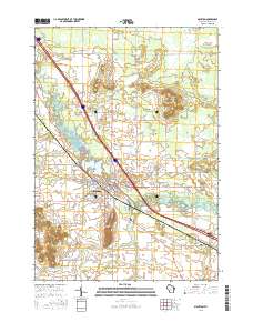
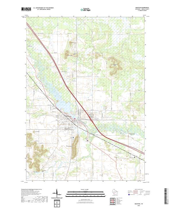
Mauston serves as the focal point of this Juneau County landscape, situated where the Lemonweir River widens into Decorah Lake. The community is home to the Juneau County Justice Center and the Western Technical College - Mauston Campus, marking it as a regional hub for education and civic life. The surrounding terrain is defined by dramatic bluffs and sandstone formations, including Onemile Bluff, Prices Bluff, and the oddly named Steamboat Rock. These landforms rise sharply from the lowlands of Cattail Valley, creating a varied topography that has long influenced local development. To the south and east, the small settlement of Lemonweir and rural landmarks like Saint Patrick's Cem and Rose Cem provide essential touchpoints for genealogists tracing family roots in this part of Wisconsin. The map also documents the intricate drainage of Onemile Cr and Little Onemile Cr as they navigate the rocky outcrops and marshy bottoms.
Find a feature on this map
55 named features on this map. Tap any name to fly to it.
Don’t see what you’re looking for? This feature index may not catch every label — zoom into the map to look around manually.
Map Details
Editions of this 2022 Mauston Map
This is the sole edition of this map. No revisions or reprints were ever made.
Historical Maps of Mauston Through Time
8 maps found