Loading...
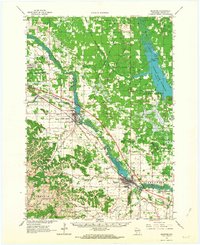
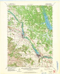
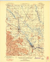
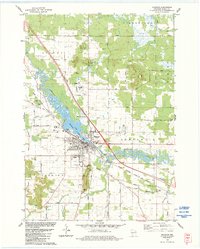
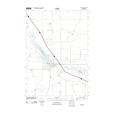
Loading map...1962 Map of Mauston
USGS Topo · Published 1964About this map
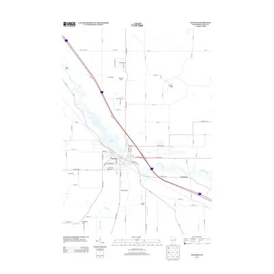
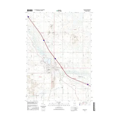
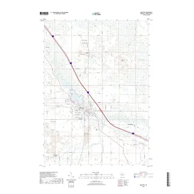
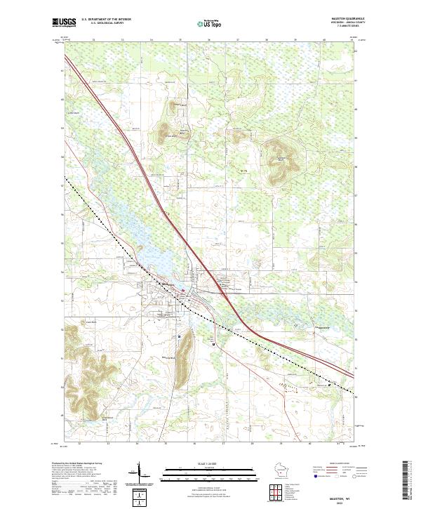
The Lemonweir River and Little Lemonweir River converge in this mid-century portrait of Juneau County, where the industrial presence of the Chicago Milwaukee St Paul and Pacific railroad shapes the development of New Lisbon and Mauston. To the north, the massive Castle Rock Flowage dominates the landscape, its expansive waters contrasting with the complex terrain of the driftless region to the south, characterized by prominent landmarks like Steamboat Rock and Coon Rock.
Find a feature on this map
68 named features on this map. Tap any name to fly to it.
Don’t see what you’re looking for? This feature index may not catch every label — zoom into the map to look around manually.
Map Details
Date Portrayed1962
Date Published1964
PublisherU.S. Geological Survey
Map TypeTopographic
Scale1:62,500
Physical Dimensions17.39 x 21.28 inches
Editions of this 1962 Mauston Map
2 editions found
Historical Maps of Mauston Through Time
8 maps found
Featured Locations
Source Details
SourceU.S. Geological Survey
CopyrightPublic Domain