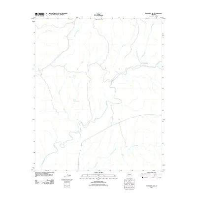
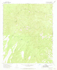
2011 Map of Maverick SW
USGS Topo · Published 2011About this map
The Black River meanders through this portion of Apache County, serving as the central hydrological feature for a landscape defined by ranching and seasonal water management. The Ten of Diamonds Ranch occupies a prominent position in the northeast, situated near the confluence of Ten of Diamonds Creek and Paddy Creek. This area of the Arizona high country is marked by a network of drainage systems and vital water sources, including the headwaters of Freezeout Creek and Burnt Corral Creek.
Find a feature on this map
19 named features on this map. Tap any name to fly to it.
Don’t see what you’re looking for? This feature index may not catch every label — zoom into the map to look around manually.
Map Details
Editions of this 2011 Maverick SW Map
This is the sole edition of this map. No revisions or reprints were ever made.
Other maps of this area

1954 · Clifton
USGS Topo · 1:250,000

1957 · Clifton
USGS Topo · 1:250,000

1958 · Clifton
USGS Topo · 1:250,000

1962 · Clifton
USGS Topo · 1:250,000

1967 · Freezeout Mountain
USGS Topo · 1:24,000
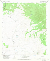
1967 · Sawbuck Mtn.
USGS Topo · 1:24,000
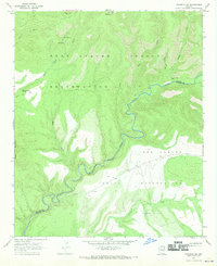
1967 · Maverick SW
USGS Topo · 1:24,000
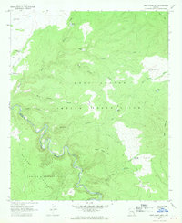
1967 · West Poker Mtn.
USGS Topo · 1:24,000

1967 · Odart Mtn
USGS Topo · 1:24,000
1967 · Willow Mtn.
USGS Topo · 1:24,000