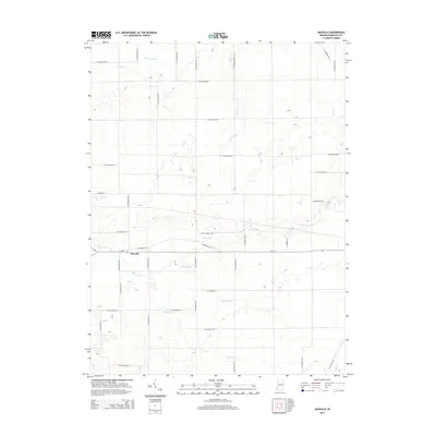
2014 Map of Maxville
USGS Topo · Published 2014About this map
Maxville stands at the heart of this East Central Indiana landscape, positioned along In-32 just south of where the White River winds across the terrain. The area is defined by a dense network of watercourses and agricultural infrastructure, including the northern stretches of Eightmile Cr and Sparrow Cr. This 2014 survey reveals a highly organized rural grid, where numerous county roads such as W Co Road 500 N and S Co Road 500 W segment the territory. The drainage patterns are a mix of natural streams like Bush Cr and Bear Cr alongside engineered features like Stevens Ditch and Denton Ditch, illustrating how the land has been managed for farming over generations. Small tributaries such as Cabin Cr and Sugar Cr at the map's edges further suggest the intricate watershed system that supports this region near Farmland.
Find a feature on this map
44 named features on this map. Tap any name to fly to it.
Don’t see what you’re looking for? This feature index may not catch every label — zoom into the map to look around manually.
Map Details
Editions of this 2014 Maxville Map
This is the sole edition of this map. No revisions or reprints were ever made.
Other maps of this area

1915 · Fort Recovery
USGS Topo · 1:48,000

1916 · Winchester
USGS Topo · 1:48,000

1918 · Winchester
USGS Topo · 1:62,500

1918 · Fort Recovery
USGS Topo · 1:62,500

1943 · Winchester
USGS Topo · 1:62,500

1952 · Maxville
USGS Topo · 1:24,000

1952 · Farmland
USGS Topo · 1:24,000

1953 · Muncie
USGS Topo · 1:250,000

1956 · Muncie
USGS Topo · 1:250,000

1960 · Carlos
USGS Topo · 1:24,000