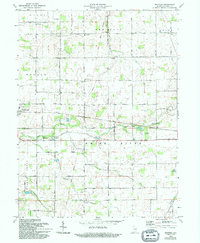
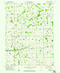
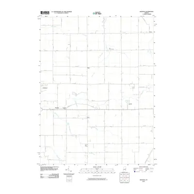
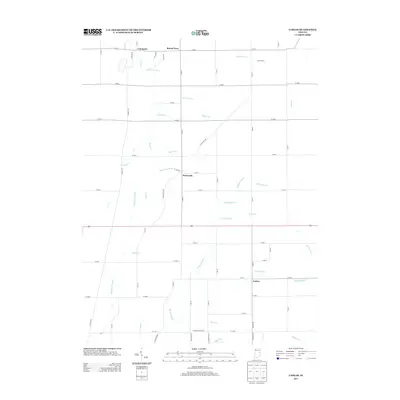
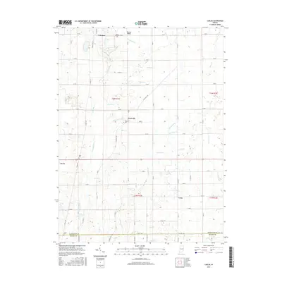
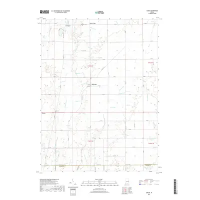
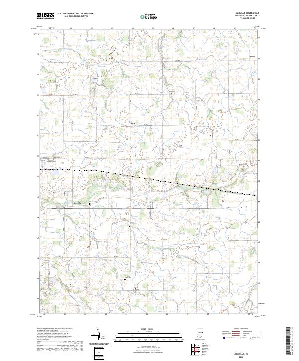
1969 Map of Maxville
USGS Topo · Published 1994About this map
The White River winds through the heart of this Randolph County landscape, anchoring a rural network of farmsteads and country crossroads. This mid-century survey captures the community of Farmland and the smaller settlement of Maxville during a period of agricultural stability and local development. Notable for its high density of rural institutions, the map preserves the locations of several neighborhood meeting places including the North White River Ch, Olive Branch Ch, and New Dayton Ch.
Find a feature on this map
33 named features on this map. Tap any name to fly to it.
Don’t see what you’re looking for? This feature index may not catch every label — zoom into the map to look around manually.
Map Details
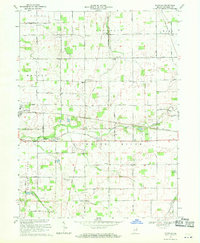
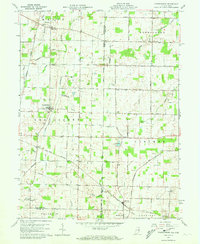
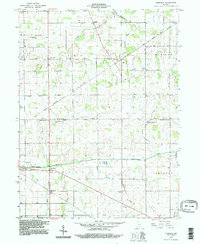
Editions of this 1969 Maxville Map
2 editions found
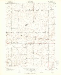
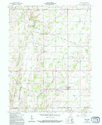
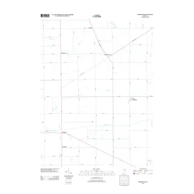
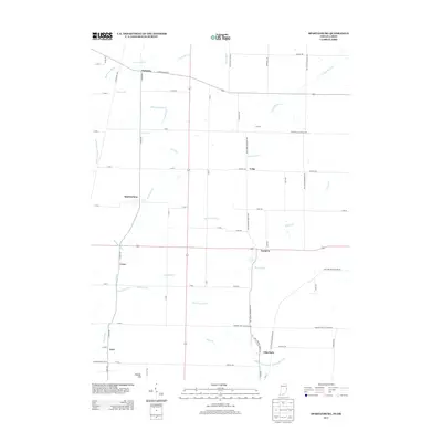
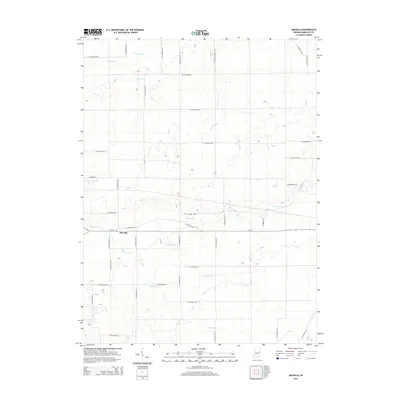
Historical Maps of Farmland Through Time
27 maps found
1952 Maxville
Randolph County, IN
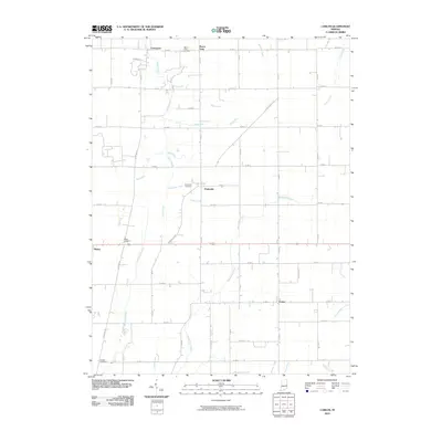
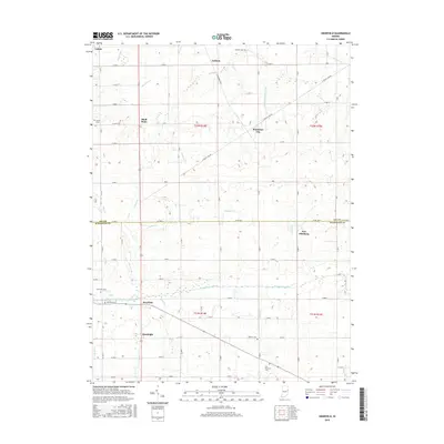
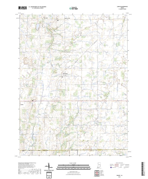
1960 Carlos
Randolph County, IN
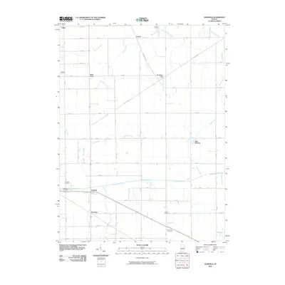
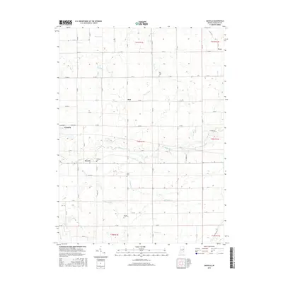
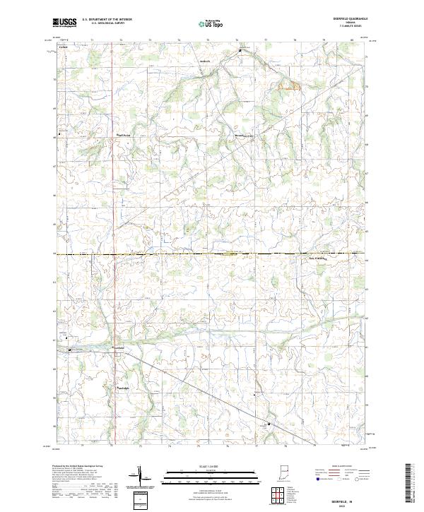
1960 Deerfield
Randolph County, IN
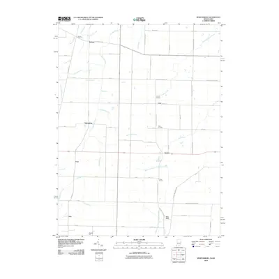
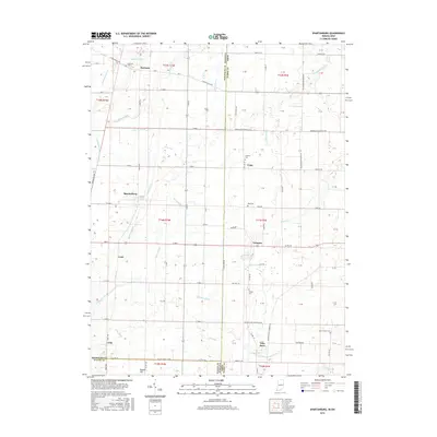
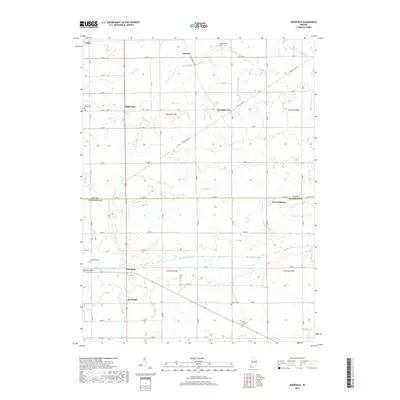
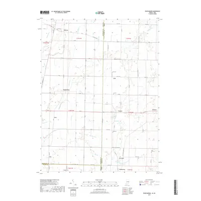
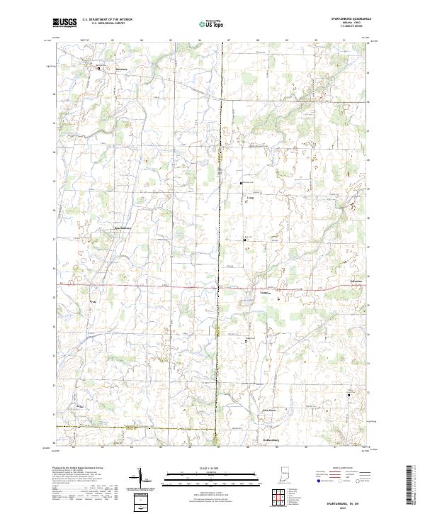
1960 Spartanburg
Randolph County, IN
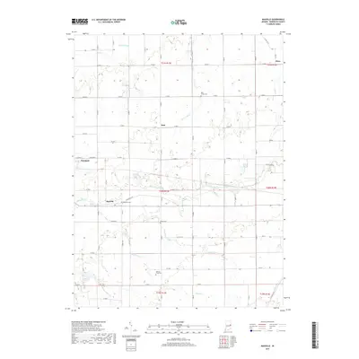
1969 Maxville
Randolph County, IN
1992 Deerfield
Randolph County, IN
1992 Spartanburg
Randolph County, IN
2010 Carlos
Randolph County, IN
2010 Deerfield
Randolph County, IN
2010 Maxville
Randolph County, IN
2010 Spartanburg
Randolph County, IN
2013 Carlos
Randolph County, IN
2013 Deerfield
Randolph County, IN
2013 Spartanburg
Randolph County, IN
2014 Maxville
Randolph County, IN
2016 Carlos
Randolph County, IN
2016 Deerfield
Randolph County, IN
2016 Maxville
Randolph County, IN
2016 Spartanburg
Randolph County, IN
2019 Carlos
Randolph County, IN
2019 Deerfield
Randolph County, IN
2019 Maxville
Randolph County, IN
2019 Spartanburg
Randolph County, IN
2022 Carlos
Randolph County, IN
2022 Deerfield
Randolph County, IN
2022 Maxville
Randolph County, IN
2022 Spartanburg
Randolph County, IN