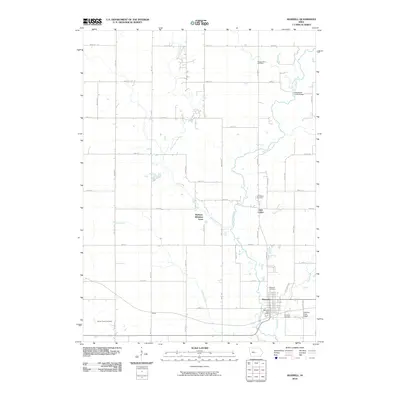
2010 Map of Maxwell
USGS Topo · Published 2010About this map
Maxwell serves as the primary hub in this corner of Story County, centered around the Maxwell Post Office and the surrounding street grid. The landscape is defined by the dendritic drainage patterns of East Indian Creek and West Indian Creek, which converge as they flow southward through a series of agricultural townships. These waterways are joined by smaller tributaries like Rupple Creek and Calamus Creek, with the latter crossed by the notable Calamus Creek Bridge.
Find a feature on this map
48 named features on this map. Tap any name to fly to it.
Don’t see what you’re looking for? This feature index may not catch every label — zoom into the map to look around manually.
Map Details
Editions of this 2010 Maxwell Map
This is the sole edition of this map. No revisions or reprints were ever made.
Other maps of this area

1911 · Slater
USGS Topo · 1:62,500

1912 · Ames
USGS Topo · 1:62,500

1913 · Slater
USGS Topo · 1:62,500

1914 · Ames
USGS Topo · 1:62,500

1954 · Waterloo
USGS Topo · 1:250,000

1954 · Des Moines
USGS Topo · 1:250,000

1955 · Waterloo
USGS Topo · 1:250,000

1956 · Des Moines
USGS Topo · 1:250,000

1957 · Des Moines
USGS Topo · 1:250,000

1969 · Des Moines
USGS Topo · 1:250,000