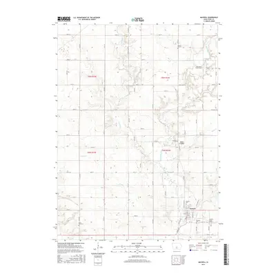
2015 Map of Maxwell
USGS Topo · Published 2015About this map
The town of Maxwell anchors the southeastern corner of this Story County landscape, where the local road grid meets the winding course of Rock Cr. This area is defined by its agricultural heritage and numerous local burial sites, including the Maxwell Cem, Woodland Cem, and Brubaker Cem. To the north, the small settlement of Iowa Center sits near the confluence of Rupple Cr and East Indian Creek, illustrating a classic Iowan settlement pattern based around reliable water sources and fertile prairie lands.
Find a feature on this map
64 named features on this map. Tap any name to fly to it.
Don’t see what you’re looking for? This feature index may not catch every label — zoom into the map to look around manually.
Map Details
Editions of this 2015 Maxwell Map
This is the sole edition of this map. No revisions or reprints were ever made.
Other maps of this area

1911 · Slater
USGS Topo · 1:62,500

1912 · Ames
USGS Topo · 1:62,500

1913 · Slater
USGS Topo · 1:62,500

1914 · Ames
USGS Topo · 1:62,500

1954 · Waterloo
USGS Topo · 1:250,000

1954 · Des Moines
USGS Topo · 1:250,000

1955 · Waterloo
USGS Topo · 1:250,000

1956 · Des Moines
USGS Topo · 1:250,000

1957 · Des Moines
USGS Topo · 1:250,000

1969 · Des Moines
USGS Topo · 1:250,000