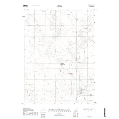
2018 Map of Maxwell
USGS Topo · Published 2018About this map
Maxwell serves as the primary hub in this portion of southeastern Story County, oriented around a grid of streets including 1st St, South St, and Rock Cr Dr. The landscape is defined by the drainage systems of East Indian Creek and W Indian Cr, which meander through a predominantly agricultural region partitioned by a precise network of range roads. Near the intersection of 295th St and Co Rd S27 lies the small settlement of Iowa Center, while more modern residential clusters like Robison-Whitaker Acres appear further west. Genealogists will find several burial sites scattered across the townships, from the Center Grove Cem in the southwest to Pleasant Run Cem in the northeast. Infrastructure for crossing the local waterways is noted by specific landmarks such as the East Indian Creek Bridge and the Calamus Creek Bridge near the southern boundary.
Find a feature on this map
65 named features on this map. Tap any name to fly to it.
Don’t see what you’re looking for? This feature index may not catch every label — zoom into the map to look around manually.
Map Details
Editions of this 2018 Maxwell Map
This is the sole edition of this map. No revisions or reprints were ever made.
Other maps of this area

1911 · Slater
USGS Topo · 1:62,500

1912 · Ames
USGS Topo · 1:62,500

1913 · Slater
USGS Topo · 1:62,500

1914 · Ames
USGS Topo · 1:62,500

1954 · Waterloo
USGS Topo · 1:250,000

1954 · Des Moines
USGS Topo · 1:250,000

1955 · Waterloo
USGS Topo · 1:250,000

1956 · Des Moines
USGS Topo · 1:250,000

1957 · Des Moines
USGS Topo · 1:250,000

1969 · Des Moines
USGS Topo · 1:250,000