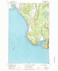
1953 Map of Maxwelton
USGS Topo · Published 1983About this map
The southern tip of Whidbey Island is defined by its deep interaction with Puget Sound, where the dramatic coastal forms of Scatchet Head and Possession Point anchor the landscape. This 1953 survey, with revisions from 1968, shows the coastal community of Maxwelton and the shoreline development at Sunlight Beach. Inland, the terrain is dotted with freshwater bodies like Deer Lake and Miller Lake, while the expansive Useless Bay dominates the western shore.
Find a feature on this map
20 named features on this map. Tap any name to fly to it.
Don’t see what you’re looking for? This feature index may not catch every label — zoom into the map to look around manually.
Map Details
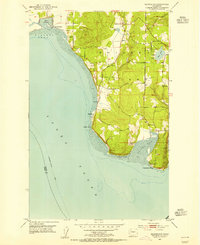
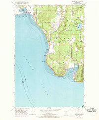
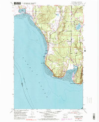
Editions of this 1953 Maxwelton Map
4 editions found
Other maps of this area

1895 · Snohomish
USGS Topo · 1:125,000

1897 · Seattle
USGS Topo · 1:125,000

1911 · Mount Vernon
USGS Topo · 1:125,000

1937 · Port Gamble
USGS Topo · 1:62,500

1939 · Coupeville
USGS Topo · 1:62,500

1940 · Port Gamble
USGS Topo · 1:62,500

1942 · Edmonds
USGS Topo · 1:62,500

1943 · Stanwood
USGS Topo · 1:62,500

1953 · Hansville
USGS Topo · 1:24,000

1953 · Freeland
USGS Topo · 1:24,000