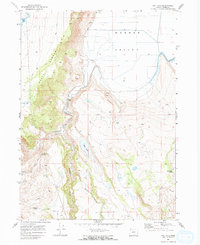
1968 Map of May Lake
USGS Topo · Published 1972About this map
The South Warner Rim dominates this 1960s landscape, marking a sharp topographic boundary above the wide, flat floor of the Warner Valley. This region of Lake County is defined by its water management and livestock history, where numerous isolated water sources like Cattle Guard Spring, Spearpoint Spring, and Surveyor Spring were vital for range operations. The drainage patterns of Twentymile Creek and Horse Creek feed into seasonal basins, including May Lake, while artificial impoundments like Lucky Res and Greaser Res demonstrate the engineered efforts to capture runoff in this high-desert environment. A Gaging Station on Twentymile Creek and a series of rugged Jeep Trails provide the only infrastructure in this sparsely populated terrain, illustrating the remote character of the eastern Oregon ranching country during the mid-20th century.
Find a feature on this map
17 named features on this map. Tap any name to fly to it.
Don’t see what you’re looking for? This feature index may not catch every label — zoom into the map to look around manually.
Map Details
Editions of this 1968 May Lake Map
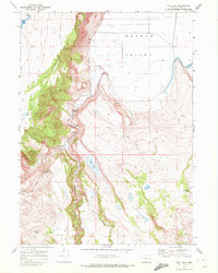
2 editions found
Other maps of this area

1886 · Alturas
USGS Topo · 1:250,000

1889 · Long Valley
USGS Topo · 1:250,000

1892 · Alturas
USGS Topo · 1:250,000

1954 · Vya
USGS Topo · 1:250,000

1954 · Alturas
USGS Topo · 1:250,000

1955 · Klamath Falls
USGS Topo · 1:250,000

1955 · Adel
USGS Topo · 1:250,000

1957 · Adel
USGS Topo · 1:250,000

1958 · Alturas
USGS Topo · 1:250,000

1958 · Klamath Falls
USGS Topo · 1:250,000