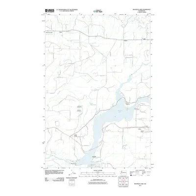
2011 Map of Mayfield Lake
USGS Topo · Published 2011About this map
Mayfield Lake dominates this Lewis County landscape, its jagged shoreline and several smaller impoundments such as KOA Dam Number Two shaping the local geography. The area around Cinebar and Silver Creek reflects a rural Pacific Northwest character where early logging roads and family-named routes like Burnt Ridge RD and Magnus RD provide access to the hinterlands. Along the Tilton River and Klickitat Creek, small settlements and agricultural clearings such as Klickitat Prairie persist near the water's edge.
Find a feature on this map
79 named features on this map. Tap any name to fly to it.
Don’t see what you’re looking for? This feature index may not catch every label — zoom into the map to look around manually.
Map Details
Editions of this 2011 Mayfield Lake Map
This is the sole edition of this map. No revisions or reprints were ever made.
Other maps of this area

1916 · Chehalis
USGS Topo · 1:125,000

1919 · Mount St Helens
USGS Topo · 1:125,000

1937 · Eatonville
USGS Topo · 1:125,000

1942 · Toutle
USGS Topo · 1:62,500

1943 · Willapa
USGS Topo · 1:62,500

1953 · Hoquiam
USGS Topo · 1:250,000

1953 · Toutle
USGS Topo · 1:62,500

1953 · Elk Rock
USGS Topo · 1:62,500

1954 · Onalaska
USGS Topo · 1:62,500

1957 · Hoquiam
USGS Topo · 1:250,000