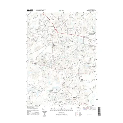
2015 Map of Maynard
USGS Topo · Published 2015About this map
Maynard sits at the heart of this suburban landscape, where the Assabet River winds through a corridor of industry and preservation. The map documents the intricate water systems that powered the region's development, from the Assabet River Reservoir to Damons Mills Westvale. Notable for genealogists and local historians are the numerous burial grounds, including Glenwood Cem and Saint Bridgets Cem, which mark the town's expanding footprint.
Find a feature on this map
68 named features on this map. Tap any name to fly to it.
Don’t see what you’re looking for? This feature index may not catch every label — zoom into the map to look around manually.
Map Details
Editions of this 2015 Maynard Map
This is the sole edition of this map. No revisions or reprints were ever made.
Other maps of this area

1886 · Lowell
USGS Topo · 1:62,500

1886 · Framingham
USGS Topo · 1:62,500

1887 · Marlboro
USGS Topo · 1:62,500

1889 · Marlboro
USGS Topo · 1:62,500

1889 · Framingham
USGS Topo · 1:62,500

1893 · Lowell
USGS Topo · 1:62,500

1893 · Groton
USGS Topo · 1:62,500

1894 · Framingham
USGS Topo · 1:62,500

1896 · Marlboro
USGS Topo · 1:62,500

1898 · Marlboro
USGS Topo · 1:62,500