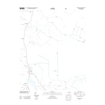
2013 Map of Maysville
USGS Topo · Published 2013About this map
Maysville serves as the primary hub on this coastal plain landscape, where the White Oak River winds southward toward the Atlantic. The town's grid is clearly defined by local thoroughfares such as Koonce Ave, Jenkins Ave, and Foy Ave, leading toward the nearby settlement of Belgrade. To the north, the terrain is characterized by the drainage networks of Mill Cr and Black Swamp Cr, which shape the rural pockets of Ravenswood and Chadwick. This 2013 survey illustrates the modern road infrastructure connecting these communities, including Belgrade Swansboro Rd and Catfish Lake Rd. The map offers a precise look at the transition from concentrated village centers to the sprawling timber and agricultural lands that define Jones County's eastern interior.
Find a feature on this map
40 named features on this map. Tap any name to fly to it.
Don’t see what you’re looking for? This feature index may not catch every label — zoom into the map to look around manually.
Map Details
Editions of this 2013 Maysville Map
This is the sole edition of this map. No revisions or reprints were ever made.
Other maps of this area

1901 · New Bern
USGS Topo · 1:62,500

1903 · New Bern
USGS Topo · 1:62,500

1903 · Trent River
USGS Topo · 1:62,500

1904 · Trent River
USGS Topo · 1:62,500

1942 · Maysville
USGS Topo · 1:62,500

1943 · Jacksonville
USGS Topo · 1:62,500

1948 · Maysville
USGS Topo · 1:62,500

1950 · Pollocksville
USGS Topo · 1:24,000

1950 · New Bern
USGS Topo · 1:24,000

1953 · Rocky Mount
USGS Topo · 1:250,000