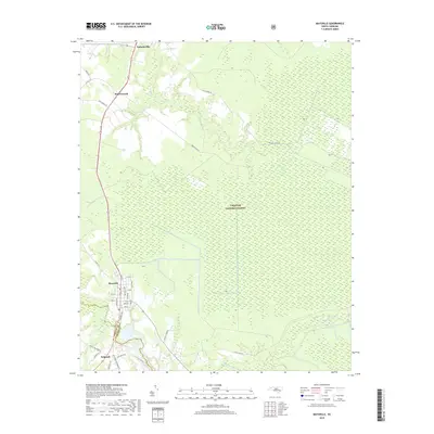
2019 Map of Maysville
USGS Topo · Published 2019About this map
The White Oak River serves as the primary drainage and historical boundary on this coastal plain landscape, dividing the modern terrain of Onslow Co and Jones Co. The town of Maysville acts as a central hub, with a detailed street grid including Main St, Matticks Ave, and Jenkins Ave. To the east, the sprawling wetlands of the Croatan National Forest dominate the topography, interspersed with drainages like Black Swamp Cr and Mill Cr. Small settlements and rural residential pockets such as Pollocksville, Ravenswood, and Belgrade are connected by a network of timber and farm roads. Economic activity is represented by localized landmarks like Donnie's Sawmill, illustrating the continued importance of the region's natural resources.
Find a feature on this map
36 named features on this map. Tap any name to fly to it.
Don’t see what you’re looking for? This feature index may not catch every label — zoom into the map to look around manually.
Map Details
Editions of this 2019 Maysville Map
This is the sole edition of this map. No revisions or reprints were ever made.
Other maps of this area

1901 · New Bern
USGS Topo · 1:62,500

1903 · New Bern
USGS Topo · 1:62,500

1903 · Trent River
USGS Topo · 1:62,500

1904 · Trent River
USGS Topo · 1:62,500

1942 · Maysville
USGS Topo · 1:62,500

1943 · Jacksonville
USGS Topo · 1:62,500

1948 · Maysville
USGS Topo · 1:62,500

1950 · Pollocksville
USGS Topo · 1:24,000

1950 · New Bern
USGS Topo · 1:24,000

1953 · Rocky Mount
USGS Topo · 1:250,000