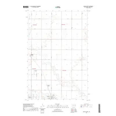
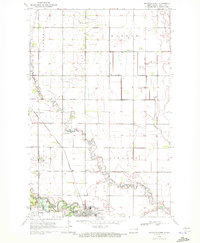
2018 Map of Mayville North
USGS Topo · Published 2018About this map
Mayville State Univ anchors the southern edge of this Traill County landscape, where the northern reaches of Mayville and Portland meet the winding course of the Goose River. The terrain is defined by the repetitive geometry of the section lines and the erratic, meandering path of the N Br Goose River, which cuts across the central agricultural fields. This 2018 survey illustrates a modern rural infrastructure where traditional land divisions intersect with specialized aviation sites like the Haugen Farm Airstrip and Ingebretson Airspray Airport. Away from the campus and town centers, the map documents quieter local landmarks such as Holmes Cem and Morgan Cem, alongside the small junction at Portland Junction.
Find a feature on this map
42 named features on this map. Tap any name to fly to it.
Don’t see what you’re looking for? This feature index may not catch every label — zoom into the map to look around manually.
Map Details
Editions of this 2018 Mayville North Map
This is the sole edition of this map. No revisions or reprints were ever made.
Other maps of this area

1918 · Kelso
USGS Topo · 1:62,500

1943 · Kelso
USGS Topo · 1:62,500

1952 · Grand Forks
USGS Topo · 1:250,000

1956 · Grand Forks
USGS Topo · 1:250,000

1966 · Grand Forks
USGS Topo · 1:250,000

1967 · Mayville South
USGS Topo · 1:24,000
1967 · Hillsboro NW
USGS Topo · 1:24,000
1968 · Galesburg NW
USGS Topo · 1:24,000
1970 · Hatton
USGS Topo · 1:24,000
1970 · Mayville North
USGS Topo · 1:24,000