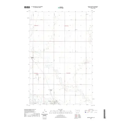
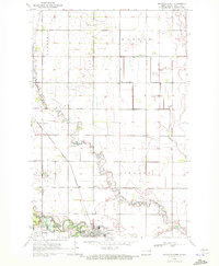
2020 Map of Mayville North
USGS Topo · Published 2020About this map
Mayville State University anchors the southern portion of this Traill County landscape, situated where the Goose River and its various tributaries converge. The area is defined by a dense network of county highways and agricultural grid roads, reflecting a deeply established farming economy. Along the southern edge, the settlements of Mayville and Portland sit in close proximity, with the specialized Portland Junction located just to the north.
Find a feature on this map
43 named features on this map. Tap any name to fly to it.
Don’t see what you’re looking for? This feature index may not catch every label — zoom into the map to look around manually.
Map Details
Editions of this 2020 Mayville North Map
This is the sole edition of this map. No revisions or reprints were ever made.
Other maps of this area

1918 · Kelso
USGS Topo · 1:62,500

1943 · Kelso
USGS Topo · 1:62,500

1952 · Grand Forks
USGS Topo · 1:250,000

1956 · Grand Forks
USGS Topo · 1:250,000

1966 · Grand Forks
USGS Topo · 1:250,000

1967 · Mayville South
USGS Topo · 1:24,000
1967 · Hillsboro NW
USGS Topo · 1:24,000
1968 · Galesburg NW
USGS Topo · 1:24,000
1970 · Hatton
USGS Topo · 1:24,000
1970 · Mayville North
USGS Topo · 1:24,000