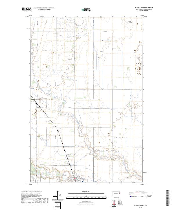
2024 Map of Mayville North
USGS Topo · Published 2024About this map
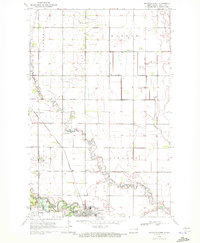
Mayville State University anchors the southern edge of this Traill County landscape, where the academic grounds transition into the organized grid of the Red River Valley’s agricultural heartland. The meandering path of the North Branch Goose River cuts a serpentine course through the central sections, eventually joining the Goose River near the town of Mayville. This watercourse provides a distinct contrast to the straight-line precision of the county roads and section boundaries that define the region's geography.
Find a feature on this map
35 named features on this map. Tap any name to fly to it.
Don’t see what you’re looking for? This feature index may not catch every label — zoom into the map to look around manually.
Map Details
Editions of this 2024 Mayville North Map
This is the sole edition of this map. No revisions or reprints were ever made.
Other maps of this area

1918 · Kelso
USGS Topo · 1:62,500

1943 · Kelso
USGS Topo · 1:62,500

1952 · Grand Forks
USGS Topo · 1:250,000

1956 · Grand Forks
USGS Topo · 1:250,000

1966 · Grand Forks
USGS Topo · 1:250,000

1967 · Mayville South
USGS Topo · 1:24,000
1967 · Hillsboro NW
USGS Topo · 1:24,000
1968 · Galesburg NW
USGS Topo · 1:24,000
1970 · Hatton
USGS Topo · 1:24,000
1970 · Mayville North
USGS Topo · 1:24,000