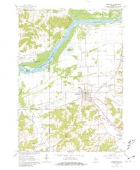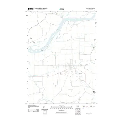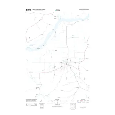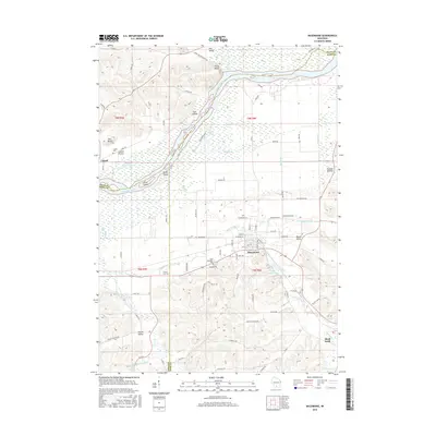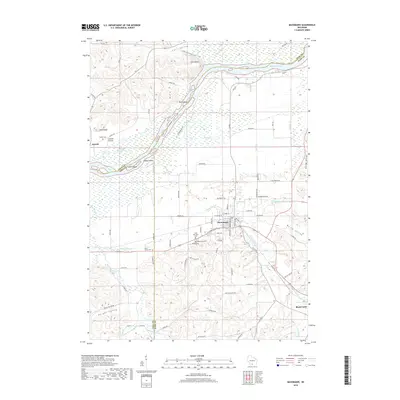
2022 Map of Mazomanie
USGS Topo · Published 2022About this map
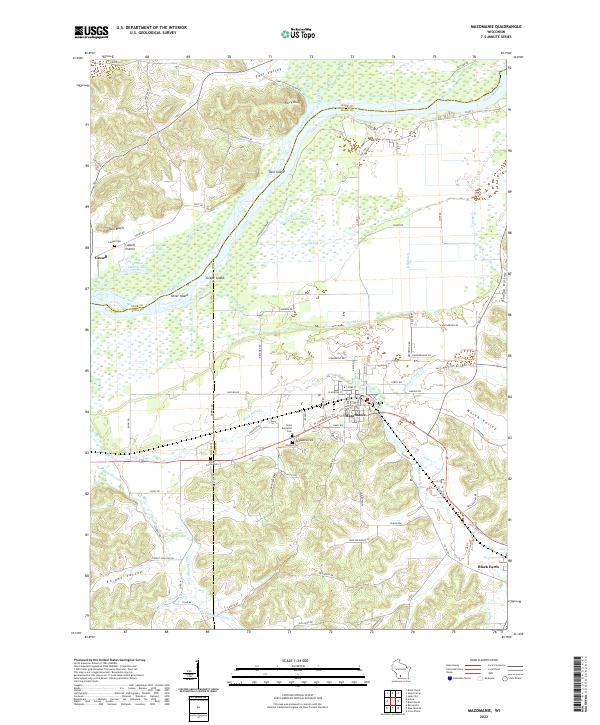
Mazomanie sits at the heart of this landscape where the Black Earth Cr drainage meets the broad lowlands of the Wisconsin River. This topography is defined by the sharp contrast between the prominent heights of Ferry Bluff and Twin Bluffs to the north and the intricate network of coulees and valleys like Knight Valley and Dunlap Hollow to the south. The settlement pattern reflects the area's agricultural and transit history, with the village of Black Earth anchored in the southeast and the smaller community of Cassell positioned near the river. Genealogical interest is high throughout the quadrangle, with several established burial grounds including Saint Barnabas Cem, Mazomanie Cem, and the more secluded Culver Cem near Dover. The waterway systems, including Blue Mounds Cr and the complex of wetlands around Fishers Lake, illustrate the drainage patterns essential to the region's development.
Find a feature on this map
85 named features on this map. Tap any name to fly to it.
Don’t see what you’re looking for? This feature index may not catch every label — zoom into the map to look around manually.
Map Details
Editions of this 2022 Mazomanie Map
This is the sole edition of this map. No revisions or reprints were ever made.
Historical Maps of Black Earth Through Time
6 maps found