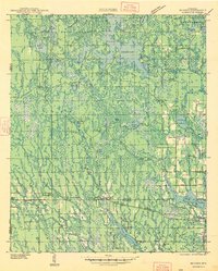
1947 Map of Mc Cord
USGS Topo · Published 1947About this map
The vast waterways of the Willow Reservoir and the Tomahawk River define this Northwoods landscape, which was surveyed based on aerial photographs from the late 1930s. The region is characterized by an extensive network of wetlands, creeks, and lakes, such as Willow Lake and Somo Lake, which support a local economy tied to the land and water. The built environment is marked by small settlements along the rail lines, including Mc Cord and Tripoli, which served as vital transit points for the timber and agricultural interests of Oneida and Lincoln counties.
Find a feature on this map
54 named features on this map. Tap any name to fly to it.
Don’t see what you’re looking for? This feature index may not catch every label — zoom into the map to look around manually.
Map Details
Editions of this 1947 Mc Cord Map
This is the sole edition of this map. No revisions or reprints were ever made.
Other maps of this area
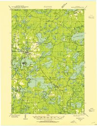
1938 · Minocqua
USGS Topo · 1:48,000
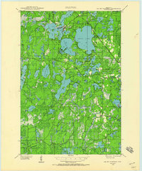
1938 · Lac Du Flambeau
USGS Topo · 1:48,000
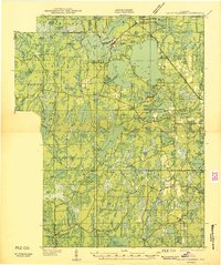
1939 · Lac Du Flambeau
USGS Topo · 1:48,000
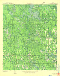
1939 · Mc Cord
USGS Topo · 1:48,000
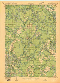
1939 · Cassian
USGS Topo · 1:48,000
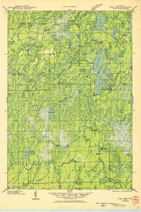
1941 · Pike Lake
USGS Topo · 1:48,000
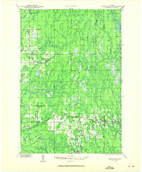
1941 · Brantwood
USGS Topo · 1:48,000
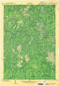
1942 · Pike Lake
USGS Topo · 1:48,000
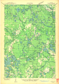
1942 · Cassian
USGS Topo · 1:48,000
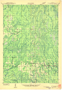
1943 · Brantwood
USGS Topo · 1:48,000