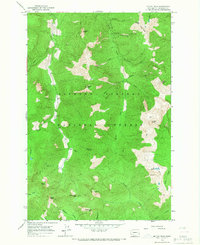
1965 Map of Mc Coy Peak
USGS Topo · Published 1967About this map
Gifford Pinchot National Forest dominates this mid-1960s topographic study, revealing a high-elevation landscape defined by sharp ridges and isolated peaks. The terrain is characterized by the prominent Langille Ridge and Juniper Ridge, with numerous summits such as McCoy Peak and Jumbo Peak punctuating the skyline. At Yellow Jacket Pass, the map illustrates a critical point in the local topography where trail networks converge.
Find a feature on this map
36 named features on this map. Tap any name to fly to it.
Don’t see what you’re looking for? This feature index may not catch every label — zoom into the map to look around manually.
Map Details
Editions of this 1965 Mc Coy Peak Map
2 editions found
Other maps of this area

1926 · Steamboat Mtn
USGS Topo · 1:125,000

1931 · Steamboat Mtn
USGS Topo · 1:125,000

1950 · Yakima
USGS Topo · 1:250,000

1958 · Yakima
USGS Topo · 1:250,000

1961 · Yakima
USGS Topo · 1:250,000
1965 · Greenhorn Buttes
USGS Topo · 1:24,000
1965 · Spencer Butte
USGS Topo · 1:24,000
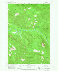
1965 · Tower Rock
USGS Topo · 1:24,000
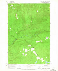
1965 · Quartz Creek Butte
USGS Topo · 1:24,000
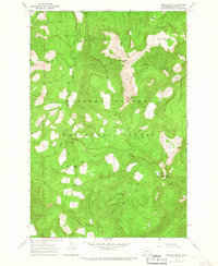
1965 · French Butte
USGS Topo · 1:24,000