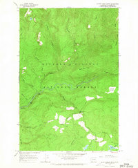
1965 Map of Quartz Creek Butte
USGS Topo · Published 1967About this map
Gifford Pinchot National Forest defines this high-elevation landscape in Skamania County, dominated by the drainage systems of the Lewis River and Tillicum Creek. In the mid-1960s, the area remained largely roadless, with a Pack Trail providing access across the northern slopes of Quartz Creek Butte. The map reveals a dramatic hydrology characterized by numerous vertical drops, including Upper Falls, Middle Falls, and the descriptively named Little Niagara Falls along the creek beds. Human activity is focused primarily on the Lewis River Campground and the monitoring infrastructure of a Gaging Station on the riverbank. From the alpine waters of Blue Lake in the northwest to the wetlands of Surprise Meadow and Big Mosquito Lake in the south, the topography reflects a primitive wilderness prior to extensive modern development.
Find a feature on this map
27 named features on this map. Tap any name to fly to it.
Don’t see what you’re looking for? This feature index may not catch every label — zoom into the map to look around manually.
Map Details
Editions of this 1965 Quartz Creek Butte Map
2 editions found
Other maps of this area

1926 · Steamboat Mtn
USGS Topo · 1:125,000

1931 · Steamboat Mtn
USGS Topo · 1:125,000

1950 · Yakima
USGS Topo · 1:250,000

1958 · Yakima
USGS Topo · 1:250,000

1961 · Yakima
USGS Topo · 1:250,000
1965 · Burnt Peak
USGS Topo · 1:24,000
1965 · Lone Butte
USGS Topo · 1:24,000
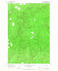
1965 · Spencer Butte
USGS Topo · 1:24,000
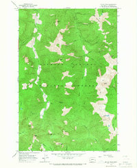
1965 · Mc Coy Peak
USGS Topo · 1:24,000
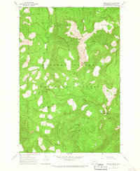
1965 · French Butte
USGS Topo · 1:24,000