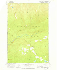
1965 Map of Quartz Creek Butte
USGS Topo · Published 1978About this map
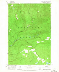
Gifford Pinchot National Forest dominates this mid-1960s landscape, where the Lewis River winds through a complex network of glacial and volcanic terrain. The waterway is punctuated by significant cascades, including Upper Falls and Middle Falls, while a Gaging Station monitor river flow near the Lewis River Campground. The survey captures a time when the region's accessibility was defined by the Pack Trail system and the Crab Creek Trail, which provided the primary routes through the dense drainage basins of Tillicum Creek and Quartz Creek.
Find a feature on this map
27 named features on this map. Tap any name to fly to it.
Don’t see what you’re looking for? This feature index may not catch every label — zoom into the map to look around manually.
Map Details
Editions of this 1965 Quartz Creek Butte Map
2 editions found
Other maps of this area

1926 · Steamboat Mtn
USGS Topo · 1:125,000

1931 · Steamboat Mtn
USGS Topo · 1:125,000

1950 · Yakima
USGS Topo · 1:250,000

1958 · Yakima
USGS Topo · 1:250,000

1961 · Yakima
USGS Topo · 1:250,000
1965 · Burnt Peak
USGS Topo · 1:24,000
1965 · Lone Butte
USGS Topo · 1:24,000
1965 · Spencer Butte
USGS Topo · 1:24,000
1965 · Quartz Creek Butte
USGS Topo · 1:24,000
1965 · Mc Coy Peak
USGS Topo · 1:24,000