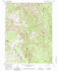
1956 Map of Mc Curdy Mountain
USGS Topo · Published 1985About this map
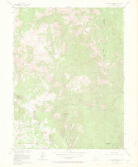
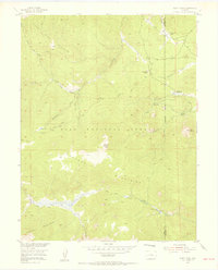
The Tarryall Mountains dominate this high-altitude landscape in the mid-1950s, characterized by a complex network of drainage gulches and prominent summits like Bison Peak and McCurdy Mountain. This survey, updated with mid-1980s data, illustrates the primitive transportation routes used by early backcountry travelers, including the Brookside-McCurdy Trail and the Mc Curdy Park Trail. These paths connect the high basins of McCurdy Park and Hankins Pass through the dense terrain of the Lost Creek Wilderness. Along the southern edge of the quadrangle, Tarryall Creek provides a lower-elevation corridor where human activity is more concentrated at sites such as the Twin Eagles Picnic Area and Spruce Grove Campground. The map also captures the boundary between Park and Jefferson Counties, showing how the topography of Lost Creek and its many tributaries, such as Refrigerator Gulch, dictate the layout of the land within the Pike National Forest.
Find a feature on this map
27 named features on this map. Tap any name to fly to it.
Don’t see what you’re looking for? This feature index may not catch every label — zoom into the map to look around manually.
Map Details
Editions of this 1956 Mc Curdy Mountain Map
9 editions found
Other maps of this area

1893 · Platte Canyon
USGS Topo · 1:125,000

1953 · Denver
USGS Topo · 1:250,000

1954 · Green Mountain
USGS Topo · 1:24,000
1954 · Windy Peak
USGS Topo · 1:24,000

1956 · Mc Curdy Mountain
USGS Topo · 1:24,000

1956 · Tarryall
USGS Topo · 1:24,000

1956 · Hackett Mountain
USGS Topo · 1:24,000

1956 · Farnum Peak
USGS Topo · 1:24,000
1956 · Cheesman Lake
USGS Topo · 1:24,000

1956 · Glentivar
USGS Topo · 1:24,000