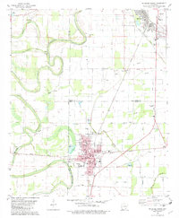
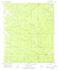
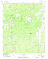
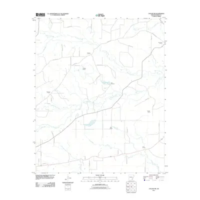
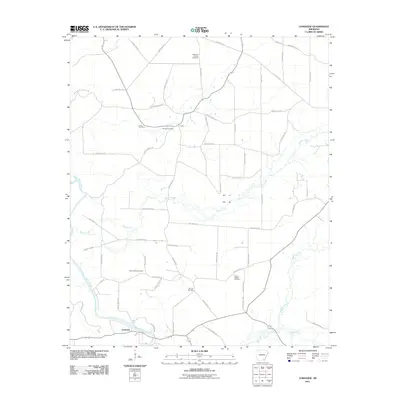
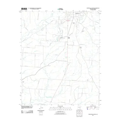
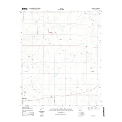
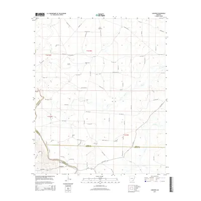
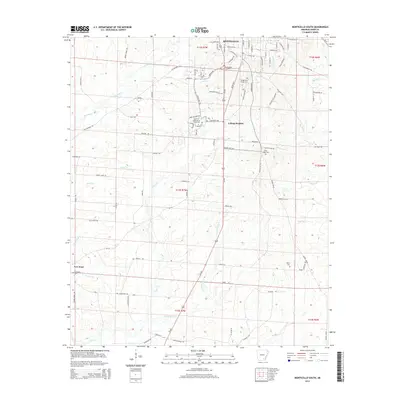
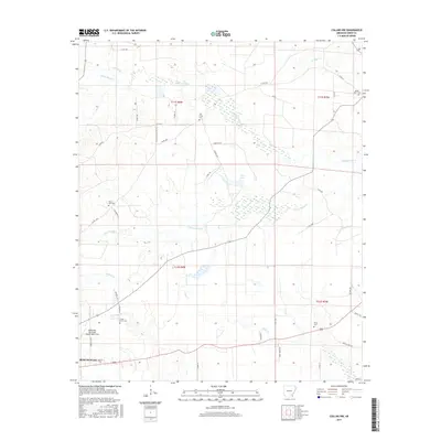
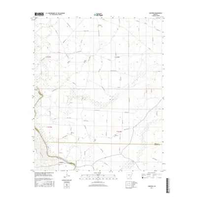
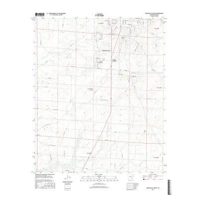
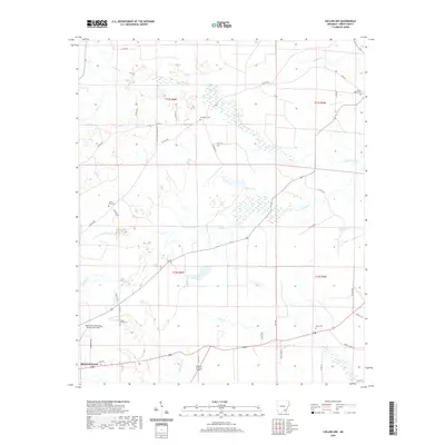
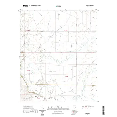
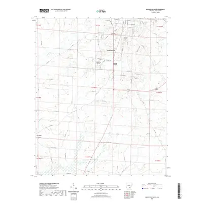
1981 Map of Mc Gehee South
USGS Topo · Published 1982About this map
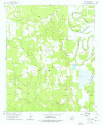
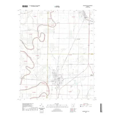
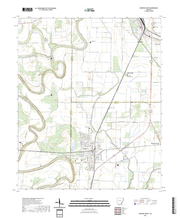
Bayou Bartholomew winds through this landscape, marking the boundary between Chicot, Drew, and Desha counties in southeast Arkansas. During the early 1980s, the town of Dermott served as a local center of commerce and education, notably housing the Morris-Booker Memorial College and several historic family burial grounds like McDermott Cem. The map reveals a complex network of drainage and agriculture, with Bogue Phalia Brake and Tupelo Brake signifying the low-lying, water-managed character of the Delta.
Find a feature on this map
40 named features on this map. Tap any name to fly to it.
Don’t see what you’re looking for? This feature index may not catch every label — zoom into the map to look around manually.
Map Details
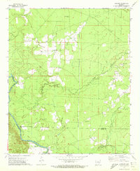
Editions of this 1981 Mc Gehee South Map
This is the sole edition of this map. No revisions or reprints were ever made.
Historical Maps of McGehee Through Time
74 maps found
1935 Cominto
Drew County, AR

1960 Collins NW
Drew County, AR
1960 Cominto
Drew County, AR
1960 Line
Drew County, AR
1960 Mist NW
Drew County, AR
1960 Selma
Drew County, AR
1966 Monticello North
Drew County, AR
1966 Monticello South
Drew County, AR
1971 Ladelle
Drew County, AR
1971 Longview
Drew County, AR
1972 Wilmar South
Drew County, AR
1973 Wilmar North
Drew County, AR

1975 Mc Gehee SW
Drew County, AR
1981 Mc Gehee South
Drew County, AR
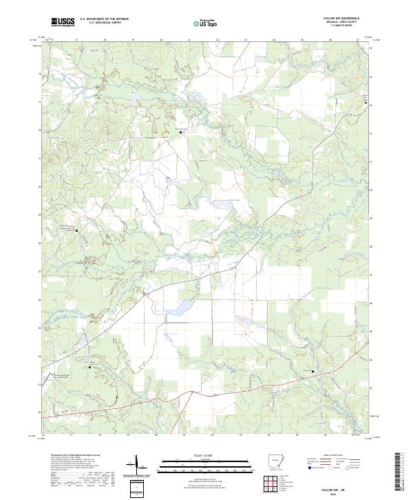
2011 Collins NW
Drew County, AR
2011 Cominto
Drew County, AR
2011 Ladelle
Drew County, AR
2011 Line
Drew County, AR
2011 Longview
Drew County, AR
2011 McGehee South
Drew County, AR
2011 Mist NW
Drew County, AR
2011 Monticello North
Drew County, AR
2011 Monticello South
Drew County, AR
2011 Selma
Drew County, AR
2011 Wilmar North
Drew County, AR
2011 Wilmar South
Drew County, AR
2014 Collins NW
Drew County, AR
2014 Cominto
Drew County, AR
2014 Ladelle
Drew County, AR
2014 Line
Drew County, AR
2014 Longview
Drew County, AR
2014 McGehee South
Drew County, AR
2014 Mist NW
Drew County, AR
2014 Monticello North
Drew County, AR
2014 Monticello South
Drew County, AR
2014 Selma
Drew County, AR
2014 Wilmar North
Drew County, AR
2014 Wilmar South
Drew County, AR
2017 Collins NW
Drew County, AR
2017 Cominto
Drew County, AR
2017 Ladelle
Drew County, AR
2017 Line
Drew County, AR
2017 Longview
Drew County, AR
2017 McGehee South
Drew County, AR
2017 Mist NW
Drew County, AR
2017 Monticello North
Drew County, AR
2017 Monticello South
Drew County, AR
2017 Selma
Drew County, AR
2017 Wilmar North
Drew County, AR
2017 Wilmar South
Drew County, AR
2020 Collins NW
Drew County, AR
2020 Cominto
Drew County, AR
2020 Ladelle
Drew County, AR
2020 Line
Drew County, AR
2020 Longview
Drew County, AR
2020 McGehee South
Drew County, AR
2020 Mist NW
Drew County, AR
2020 Monticello North
Drew County, AR
2020 Monticello South
Drew County, AR
2020 Selma
Drew County, AR
2020 Wilmar North
Drew County, AR
2020 Wilmar South
Drew County, AR
2024 Collins NW
Drew County, AR
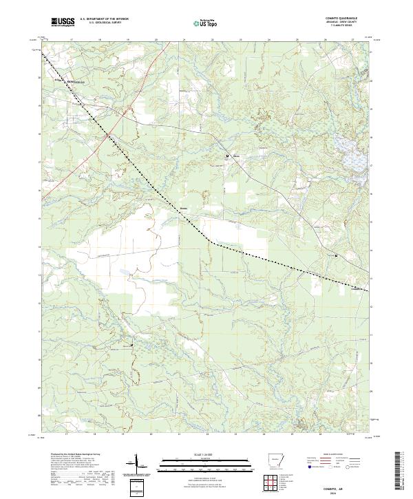
2024 Cominto
Drew County, AR
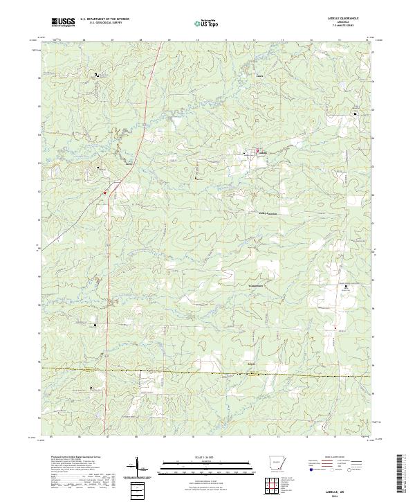
2024 Ladelle
Drew County, AR
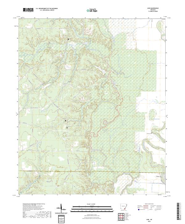
2024 Line
Drew County, AR
2024 Longview
Drew County, AR
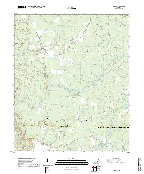
2024 McGehee South
Drew County, AR
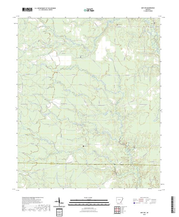
2024 Mist NW
Drew County, AR
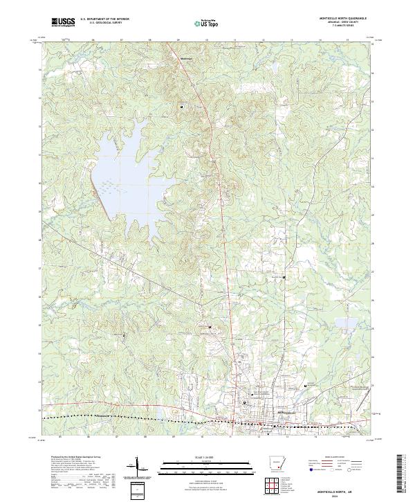
2024 Monticello North
Drew County, AR
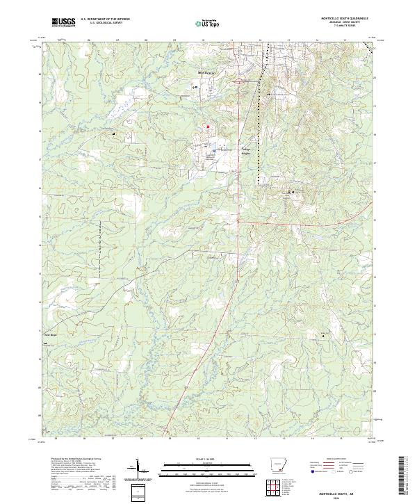
2024 Monticello South
Drew County, AR
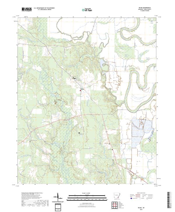
2024 Selma
Drew County, AR
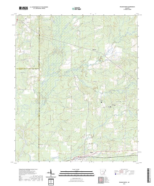
2024 Wilmar North
Drew County, AR
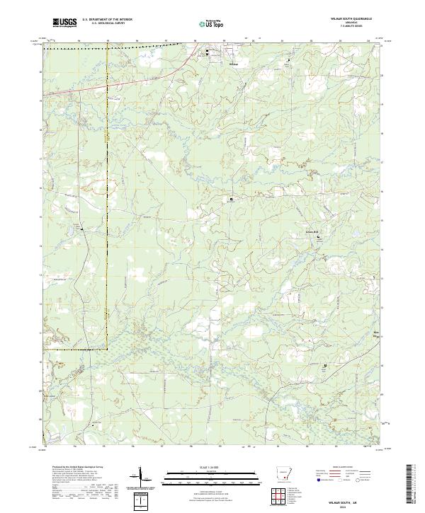
2024 Wilmar South
Drew County, AR