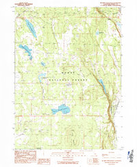
1990 Map of Mc Ginty Reservoir
USGS Topo · Published 1990About this map
Modoc National Forest dominates this high-altitude landscape, where the management of water resources is the primary footprint on the land. The presence of numerous engineered catchments like McGinty Reservoir, Green Spring Reservoir, and Crowder Mountain Reservoir reflects a systematic effort to capture runoff across the arid terrain of Modoc County. These reservoirs are often situated at the terminus of drainages or within basins like Rimrock Valley, serving as vital infrastructure for the surrounding rangeland.
Find a feature on this map
21 named features on this map. Tap any name to fly to it.
Don’t see what you’re looking for? This feature index may not catch every label — zoom into the map to look around manually.
Map Details
Editions of this 1990 Mc Ginty Reservoir Map
This is the sole edition of this map. No revisions or reprints were ever made.
Other maps of this area

1886 · Alturas
USGS Topo · 1:250,000

1892 · Alturas
USGS Topo · 1:250,000

1954 · Alturas
USGS Topo · 1:250,000

1958 · Alturas
USGS Topo · 1:250,000

1962 · Alturas
USGS Topo · 1:250,000

1962 · Davis Creek
USGS Topo · 1:62,500

1962 · Big Sage Reservoir
USGS Topo · 1:62,500

1962 · Willow Ranch
USGS Topo · 1:62,500

1962 · South Mountain
USGS Topo · 1:62,500

1965 · Alturas
USGS Topo · 1:250,000