
1972 Map of Mc Laughlin Bridge
USGS Topo · Published 1974About this map
The Santa Fe Trail crosses this high plains landscape of Union County, following a route shaped by water and terrain in the early 1970s. The map illustrates a ranching environment where life centers on water sources like Corrumpa Creek and Alamosita Creek. The presence of the (Cimarron Cutoff) Creek and the designated trail markers highlight this region's importance as a historical corridor for Western expansion and trade.
Find a feature on this map
13 named features on this map. Tap any name to fly to it.
Don’t see what you’re looking for? This feature index may not catch every label — zoom into the map to look around manually.
Map Details
Editions of this 1972 Mc Laughlin Bridge Map
This is the sole edition of this map. No revisions or reprints were ever made.
Other maps of this area

1954 · Dalhart
USGS Topo · 1:250,000

1958 · Dalhart
USGS Topo · 1:250,000

1962 · Dalhart
USGS Topo · 1:250,000

1972 · Seneca
USGS Topo · 1:24,000

1972 · Mount Dora
USGS Topo · 1:24,000

1972 · Bible Top Butte
USGS Topo · 1:24,000
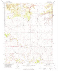
1972 · Guy
USGS Topo · 1:24,000

1972 · Cuates School
USGS Topo · 1:24,000

1972 · Atencio
USGS Topo · 1:24,000
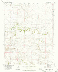
1972 · Rabbit Ear Mountain
USGS Topo · 1:24,000