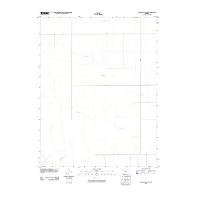
2009 Map of McAllaster NW
USGS Topo · Published 2009About this map
Lava Cemetery sits as a solitary landmark within the high plains of Wallace County, documenting the early residency of this sparsely populated region. This section of Kansas is defined by its subtle drainage patterns, where the headwaters of several significant regional waterways emerge. In the north, the South Fork Solomon River begins its eastward journey, while the North Fork Smoky Hill River and the winding Sand Creek carve shallow valleys through the terrain in the south. The landscape is organized by a grid of rural routes such as Co Rd 54 and Co Rd 57, which connect isolated homesteads and ranching interests. The presence of Fort Fox in the southern portion of the quadrangle suggests the enduring importance of local landmarks and route markers in navigating this open western Kansas landscape during the early 21st century.
Find a feature on this map
9 named features on this map. Tap any name to fly to it.
Don’t see what you’re looking for? This feature index may not catch every label — zoom into the map to look around manually.
Map Details
Editions of this 2009 McAllaster NW Map
This is the sole edition of this map. No revisions or reprints were ever made.
Other maps of this area

1954 · Goodland
USGS Topo · 1:250,000

1956 · Goodland
USGS Topo · 1:250,000

1957 · Goodland
USGS Topo · 1:250,000

1959 · Harris Draw
USGS Topo · 1:62,500

1966 · Edson
USGS Topo · 1:24,000

1966 · Brewster
USGS Topo · 1:24,000

1966 · Brewster SE
USGS Topo · 1:24,000

1969 · Mc Allaster NW
USGS Topo · 1:24,000

1969 · Mc Allaster SE
USGS Topo · 1:24,000

1969 · Mc Allaster NE
USGS Topo · 1:24,000