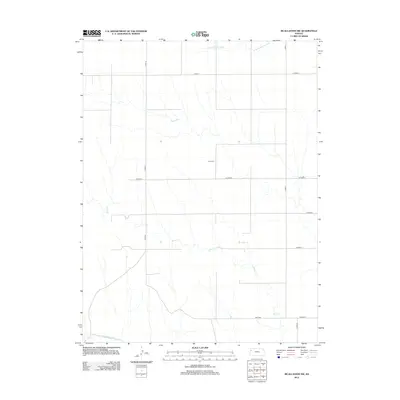
2012 Map of McAllaster NW
USGS Topo · Published 2012About this map
The S Fork Solomon River crosses the northern reaches of this high plains landscape, while the N Fork Smoky Hill River skirts the southern edge, illustrating the subtle divide between these two significant regional watersheds. The terrain is defined by a grid of rural section roads, including Co RD 33 and Road 57, which connect isolated homesteads and ranching interests across Wallace Township. A rare landmark of local history is found at Lava Cem, a small burial ground situated near the center of the survey area. Further south, the label Fort Fox appears near the meandering path of Sand Cr, marking a specific historical point of interest along the drainage. This map captures the vast open character of Western Kansas as it remained in the early 21st century, where water sources like these creeks dictates the placement of roads and human activity.
Find a feature on this map
14 named features on this map. Tap any name to fly to it.
Don’t see what you’re looking for? This feature index may not catch every label — zoom into the map to look around manually.
Map Details
Editions of this 2012 McAllaster NW Map
This is the sole edition of this map. No revisions or reprints were ever made.
Other maps of this area

1954 · Goodland
USGS Topo · 1:250,000

1956 · Goodland
USGS Topo · 1:250,000

1957 · Goodland
USGS Topo · 1:250,000

1959 · Harris Draw
USGS Topo · 1:62,500

1966 · Edson
USGS Topo · 1:24,000

1966 · Brewster
USGS Topo · 1:24,000

1966 · Brewster SE
USGS Topo · 1:24,000

1969 · Mc Allaster NW
USGS Topo · 1:24,000

1969 · Mc Allaster SE
USGS Topo · 1:24,000

1969 · Mc Allaster NE
USGS Topo · 1:24,000