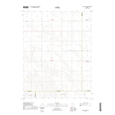
2018 Map of McAllaster NW
USGS Topo · Published 2018About this map
S Fork Solomon River flows through the northern reaches of this High Plains landscape, where the borders of Sherman, Thomas, Wallace, and Logan counties converge. This 2018 survey documents a sparsely populated agricultural region defined by vast drainage systems like Sand Creek. In the central portion of the map, the Lava Cem provides a specific point of genealogical interest for those tracing family ties in Logan County. To the south, the terrain descends toward the N Fork Smoky Hill River, marking a transition between the northern and southern watersheds of this western Kansas territory. The settlement at Fort Fox sits near the southern boundary, reflecting the late 20th and early 21st-century road network that connects these rural townships via routes like Co Rd A.
Find a feature on this map
22 named features on this map. Tap any name to fly to it.
Don’t see what you’re looking for? This feature index may not catch every label — zoom into the map to look around manually.
Map Details
Editions of this 2018 McAllaster NW Map
This is the sole edition of this map. No revisions or reprints were ever made.
Other maps of this area

1954 · Goodland
USGS Topo · 1:250,000

1956 · Goodland
USGS Topo · 1:250,000

1957 · Goodland
USGS Topo · 1:250,000

1959 · Harris Draw
USGS Topo · 1:62,500

1966 · Edson
USGS Topo · 1:24,000

1966 · Brewster
USGS Topo · 1:24,000

1966 · Brewster SE
USGS Topo · 1:24,000

1969 · Mc Allaster NW
USGS Topo · 1:24,000

1969 · Mc Allaster SE
USGS Topo · 1:24,000

1969 · Mc Allaster NE
USGS Topo · 1:24,000