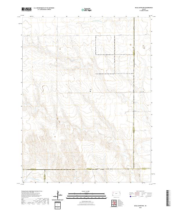
2022 Map of McAllaster NW
USGS Topo · Published 2022About this map
Lava Cem stands as a lonely marker in this High Plains landscape, situated near the intersection of several county lines in western Kansas. The terrain is defined by the drainage systems of the S Fork Solomon River in the north and the N Fork Smoky Hill River at the southern boundary, with the seasonal waters of Sand Cr cutting across the central plains. This 2022 survey captures the expansive rural grid of Sherman County, where it meets Thomas, Logan, and Wallace counties.
Find a feature on this map
27 named features on this map. Tap any name to fly to it.
Don’t see what you’re looking for? This feature index may not catch every label — zoom into the map to look around manually.
Map Details
Editions of this 2022 McAllaster NW Map
This is the sole edition of this map. No revisions or reprints were ever made.
Other maps of this area

1954 · Goodland
USGS Topo · 1:250,000

1956 · Goodland
USGS Topo · 1:250,000

1957 · Goodland
USGS Topo · 1:250,000

1959 · Harris Draw
USGS Topo · 1:62,500

1966 · Edson
USGS Topo · 1:24,000

1966 · Brewster
USGS Topo · 1:24,000

1966 · Brewster SE
USGS Topo · 1:24,000

1969 · Mc Allaster NW
USGS Topo · 1:24,000

1969 · Mc Allaster SE
USGS Topo · 1:24,000

1969 · Mc Allaster NE
USGS Topo · 1:24,000