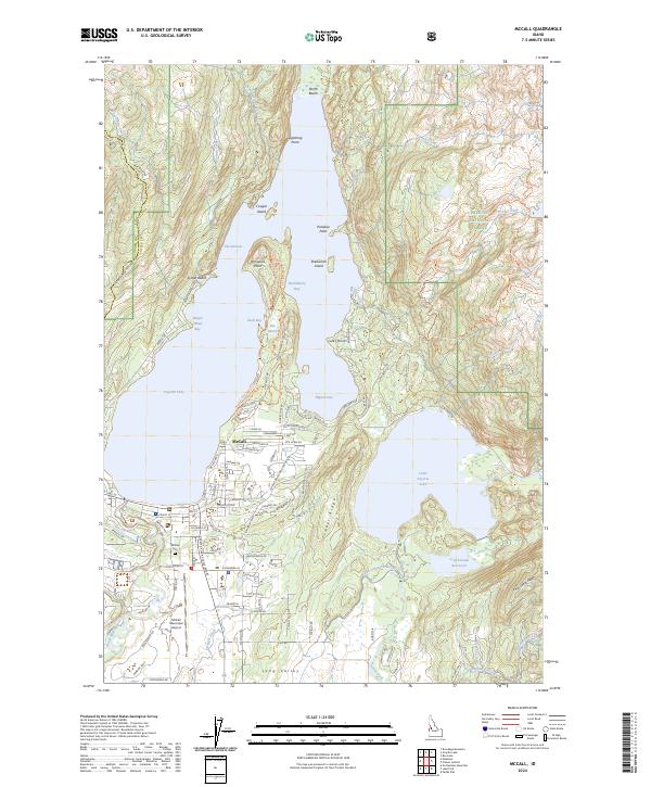
2024 Map of McCall
USGS Topo · Published 2024About this map
McCall serves as the focal point for this mountain landscape, positioned along the southern shore of the glacial Payette Lake. The town's local infrastructure is well-defined, including the McCall Municipal Airport and the McCall Fish Hatchery, while the McCall Cem provides a primary point of interest for genealogists tracing local families. The residential and resort character of the lake is evident through numerous named points and coves, such as Paradise Point, Pilgrim Cove, and Lucks Point.
Find a feature on this map
121 named features on this map. Tap any name to fly to it.
Don’t see what you’re looking for? This feature index may not catch every label — zoom into the map to look around manually.
Map Details
Editions of this 2024 McCall Map
This is the sole edition of this map. No revisions or reprints were ever made.
Other maps of this area

1911 · Meadows
USGS Topo · 1:125,000

1938 · Riggins
USGS Topo · 1:96,000

1945 · Riggins
USGS Topo · 1:125,000

1955 · Baker
USGS Topo · 1:250,000

1955 · Grangeville
USGS Topo · 1:250,000

1956 · Elk City
USGS Topo · 1:250,000

1957 · Challis
USGS Topo · 1:250,000

1959 · Baker
USGS Topo · 1:250,000

1959 · Grangeville
USGS Topo · 1:250,000

1960 · Elk City
USGS Topo · 1:250,000