Old Maps of McCall, Idaho
Explore 33 old maps of McCall, spanning from 1911 to today. These high-resolution historic maps reveal how streets, neighborhoods, landmarks, and natural features evolved over time — perfect for genealogy, metal detecting, research, and local history exploration.
What you can do with these maps:
- See how McCall changed over time: Compare historical maps to modern-day views to trace roads, homesites, rail lines & more.
- View detailed metadata: Each map includes creators, publishers, year, scale, and archive source.
- Overlay maps with satellite & LiDAR: Visualize the past alongside modern tools to explore terrain & human change.
- Trusted historical sources: Maps sourced from the USGS, Library of Congress, and other archives.
- Access maps your way: View online, download high-res files, or order prints for personal or research use.
Start exploring old maps of McCall to uncover forgotten places, hidden landmarks, and the deep history beneath your feet.
McCall, ID maps
(33)- 1911 Map of Meadows
 1911 Meadows1911 Print · USGSThe high meadows and river valleys of central Idaho are seen here during the early years of the national forest system. Genealogists and historians can locate remote settlements like Lardo and Crawford, or trace rural schoolhouses including Hayes School and Rutledge School.2 unique versions available
 - 1955 Map of Baker, 1964 Print
 1955 Baker1964 Print · USGSThe Oregon-Idaho borderlands are captured here in the mid-fifties as the Snake River underwent massive changes from dam construction. Trace the Oregon Trail Memorial Monument near Baker, find early mines like Virtue Mine, and follow the Union Pacific Railroad through Huntington.4 unique versions available
 - 1959 Map of Baker
 1959 Baker1959 Print · USGSThe Oregon and Idaho borderlands come alive in the late fifties, showing the rugged corridor along the Snake River and the high peaks of the Wallowa Mountains. Researchers can trace the legacy of the Union Pacific railroad or locate historic mining sites like the Flagstaff Mine and Virtue Mine.2 unique versions available
 - 1973 Map of Meadows, 1976 Print
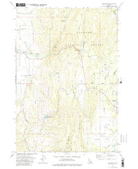 1973 Meadows1976 Print · USGSMeadows and the surrounding high-country flats of western Idaho are captured here in the early seventies as the region maintained its timber and transport roots. Researchers can trace the Old Railroad Grade and locate historic sites like Meadows Valley Cem and Packer Johns Cabin State Park.2 unique versions available
 - 1973 Map of No Business Mtn, 1976 Print
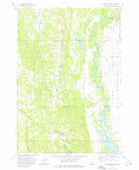 1973 No Business Mtn1976 Print · USGSValley County’s rugged interior and the agricultural Long Valley are documented here during the early seventies. Genealogists and historians can trace family-named landmarks like Hartsell Bridge and the Old Fort (Ruins) near the North Fork Payette River.2 unique versions available
 - 1973 Map of McCall, 1977 Print
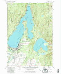 1973 McCall1977 Print · USGSMid-century McCall and the surrounding Valley County backcountry are documented here as the region evolved into a year-round recreational hub. Researchers can trace the town's footprint from the High Sch to the Union Pacific railhead, while exploring remote landmarks like Cruickshank Reservoir and Cougar Island.5 unique versions available
 - 1973 Map of Lake Fork, 1977 Print
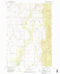 1973 Lake Fork1977 Print · USGSLong Valley was a bustling corridor of irrigation and ranching in the early seventies. Genealogists and researchers can trace local family history at Finn Cem and Spink Cem, or locate the old Union Pacific RR Grade and Landing Strip.2 unique versions available
 - 1980 Map of McCall, 1993 Print
 1980 McCall1993 Print · USGSThe high timber country and glacial lakes of the West Mountains are documented here in the early eighties. Genealogists and local historians can trace the Union Pacific rail line and family-linked sites like Roseberry, Starkey, and the North Hornet Mine.2 unique versions available
 - 1998 Map of Lake Fork, 2003 Print
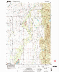 1998 Lake Fork2003 Print · USGSLong Valley in the late twentieth century remains a landscape of high-altitude ranching and timber history. Researchers can trace the Old McCall Corp Railroad Grade and locate family history markers at Finn Cem and Spink Cem.
 - 2004 Map of Meadows, 2007 Print
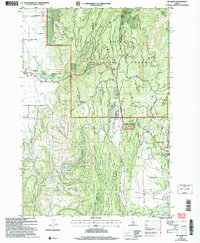 2004 Meadows2007 Print · USGSMeadows and McCall were reaching a modern equilibrium in the early 2000s as recreation and ranching shaped this Idaho landscape. Researchers can locate the Meadows Valley Cem, the site of Lardo, and the historic Packer Johns Cabin State Park.
 - 2004 Map of McCall, 2007 Print
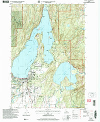 2004 McCall2007 Print · USGSMcCall sits at the gateway to the Idaho backcountry in this early 2000s survey, where the town meets the shores of Payette Lake. Researchers can trace the development of the McCall Airport or locate local landmarks like the Cem and Ponderosa State Park.
 - 2004 Map of No Business Mountain, 2007 Print
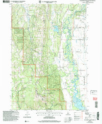 2004 No Business Mountain2007 Print · USGSValley and Adams Counties are captured here in the early 2000s, showing the high ridge lines above the Payette River valley. Trace historical sites like the Old Fort (Ruins) or the No Business Lookout Tower and explore the irrigation network near Hatz Reservoir.
 - 2010 Map of Lake Fork, 2010 Print
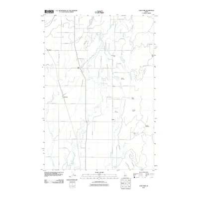 2010 Lake Fork2010 Print · USGSValley County, Idaho, is documented in this 2010 survey during a period of established ranching and irrigation. Researchers can trace historic family lands through sites like Finn Cemetery, Spink, and the Lake Irrigation District Canal.
 - 2011 Map of No Business Mountain, 2011 Print
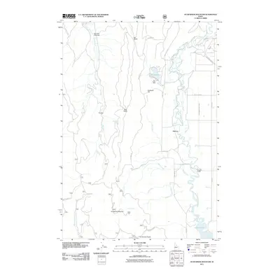 2011 No Business Mountain2011 Print · USGSThe high meadows and mountain ridges of Valley County are captured here in the early 2000s, showing a landscape defined by timber and water. Researchers can locate the historic Old Fort, trace the irrigation paths of the Lake Irrigation District Canal, and find family-named crossings like Hartsell Bridge.
 - 2011 Map of McCall, 2011 Print
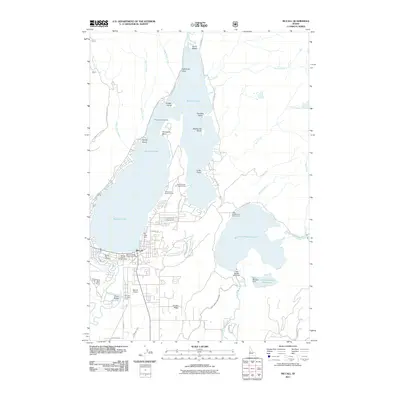 2011 McCall2011 Print · USGSMcCall and its surrounding glacial lakes are shown here in the early twenty-first century as a bustling center for aviation and forestry. Researchers can locate the Smoke Jumper Loft, the Alice Pittinger Girl Scout Camp, and the McCall Fish Hatchery.
 - 2011 Map of Meadows, 2011 Print
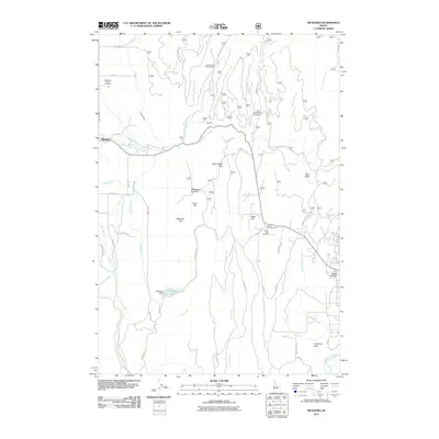 2011 Meadows2011 Print · USGSThe mountain valley surrounding Meadows is captured here in the early twenty-first century, showing a landscape of high flats and recreation areas. Local historians can locate the Meadows Valley Cemetery and trace the paths of Campbell Ditch and the North Fork Payette River.
 - 2013 Map of Lake Fork, 2013 Print
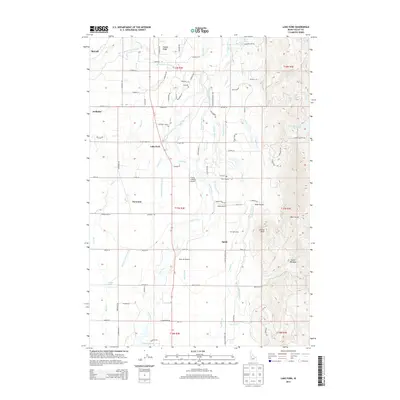 2013 Lake Fork2013 Print · USGSThe rural valley south of McCall is shown in this contemporary study of its irrigation and aviation networks. Researchers can locate the Finn Cem and Spink Cem, or trace the paths of the Cruzen Ditch and the Flying A Ranch Airport.
 - 2013 Map of McCall, 2013 Print
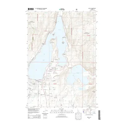 2013 McCall2013 Print · USGSThe mountain lakeside of McCall and the Payette National Forest come into sharp focus in this detailed modern survey. Researchers can trace the layout of the Mc Call Municipal Airport, locate the Victory Cove Church Camp, and explore shoreline landmarks like Lucks Point.
 - 2013 Map of No Business Mountain, 2013 Print
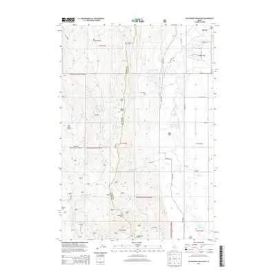 2013 No Business Mountain2013 Print · USGSThe high country and river valleys south of McCall are shown in this 2013 survey as the area transitioned into the modern era. Genealogists and historians can trace water rights and rural landmarks from Old Fort to the Lake Irrigation District Canal and Hartsell Bridge.
 - 2013 Map of Meadows, 2013 Print
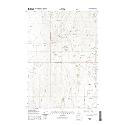 2013 Meadows2013 Print · USGSIn the Idaho mountains during the early 2010s, this area shows the transition from the ranching flats of Meadows Valley to the lakeside growth of McCall. Local historians can trace early community sites like Lardo and find recreation landmarks such as the Payette Lakes Ski Area.
 - 2017 Map of Lake Fork, 2017 Print
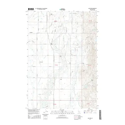 2017 Lake Fork2017 Print · USGSSettlement and irrigation define this Valley County valley during the twenty-first century, as seen along the Payette River Scenic Byway. Researchers can locate Finn Cem, trace the complex Cruzen Ditch network, or find local landmarks like Archabal and Norwood.
 - 2017 Map of Meadows, 2017 Print
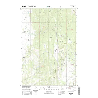 2017 Meadows2017 Print · USGSMeadows Valley and the shores of McCall are mapped in this recent survey of the Idaho high country. Researchers can trace land use from the Meadows Valley Cem to the mountain basins of the Payette National Forest and Bear Basin.
 - 2017 Map of No Business Mountain, 2017 Print
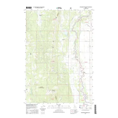 2017 No Business Mountain2017 Print · USGSValley and Adams counties are shown here in the 2010s, where the high ridges of the Payette National Forest meet the waters of Lake Cascade. Researchers can trace old mountain routes and river crossings like Old Fort, Hartsell Bridge, and No Business Mountain.
 - 2017 Map of McCall, 2017 Print
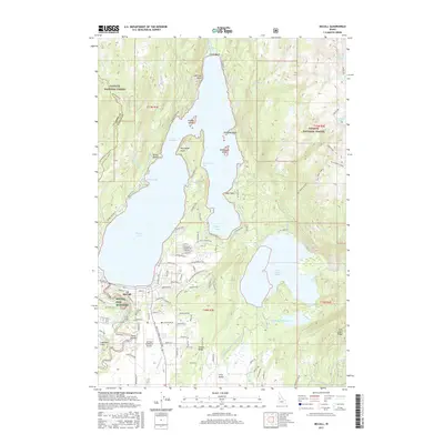 2017 McCall2017 Print · USGSMcCall sits at the threshold of the Payette National Forest in the late 2010s, where the lake meets the valley floor. Genealogists and historians can trace the town's footprint from the McCall Cem to local landmarks like the McCall Fish Hatchery and Sheep Bridge.
 - 2020 Map of No Business Mountain, 2020 Print
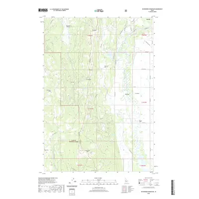 2020 No Business Mountain2020 Print · USGSThe high country west of McCall is captured in this modern survey of the Long Valley region. Researchers can trace land use and water management through features like Old Fort, the Hait Reservoir, and the winding North Fork Payette River.
Showing maps 1-25 of 33
Top cities near McCall
Frequently asked questions
- What are the different types of historical maps available for McCall?
- What is the oldest map of McCall?
- Where can I purchase historical maps of McCall for my home or office?
- Where can I download high-res historical maps of McCall?
- Are there historical topographic maps available for McCall?
- Is there historical aerial imagery available for McCall?
- Where are historical maps of McCall sourced from?