Old Maps of McCall, Idaho for Academic Research
Study the evolution of McCall with 33 high-resolution historic maps. Whether you're teaching, researching, or modeling changes in land use, these maps provide essential visual documentation of urban, environmental, and geographic change.
- Analyze long-term change: Track patterns in development, transportation, and natural features.
- Ideal for environmental or urban studies: Support academic projects with primary historical map data.
- Use in the classroom or lab: Educators and researchers rely on these maps to bring historical context to life.
These maps are a powerful tool for teaching, research, and visualizing how McCall has changed over the decades.
McCall, ID maps
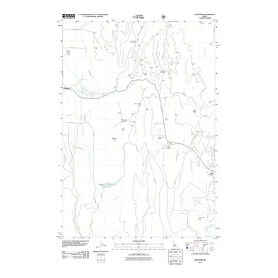
(33)- 1911 Map of Meadows
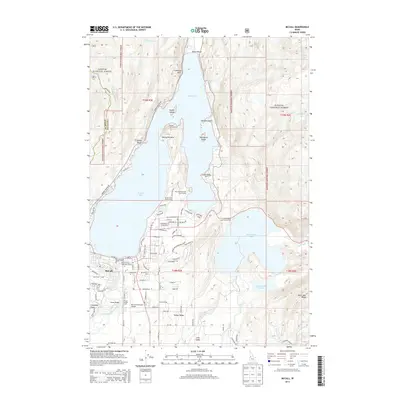
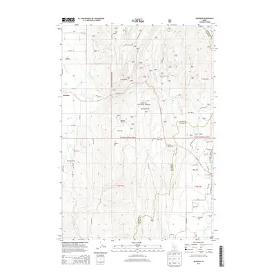
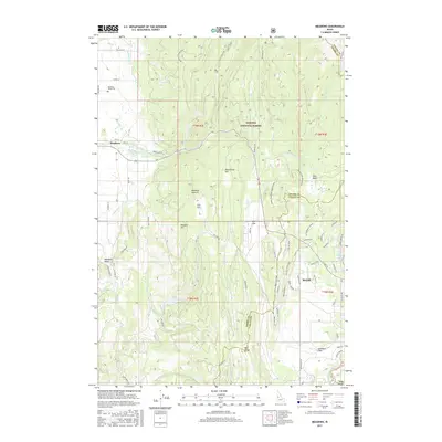
 1911 Meadows1911 Print · USGSThe high meadows and river valleys of central Idaho are seen here during the early years of the national forest system. Genealogists and historians can locate remote settlements like Lardo and Crawford, or trace rural schoolhouses including Hayes School and Rutledge School.2 unique versions available
 - 1955 Map of Baker, 1964 Print
 1955 Baker1964 Print · USGSThe Oregon-Idaho borderlands are captured here in the mid-fifties as the Snake River underwent massive changes from dam construction. Trace the Oregon Trail Memorial Monument near Baker, find early mines like Virtue Mine, and follow the Union Pacific Railroad through Huntington.4 unique versions available
 - 1959 Map of Baker
 1959 Baker1959 Print · USGSThe Oregon and Idaho borderlands come alive in the late fifties, showing the rugged corridor along the Snake River and the high peaks of the Wallowa Mountains. Researchers can trace the legacy of the Union Pacific railroad or locate historic mining sites like the Flagstaff Mine and Virtue Mine.2 unique versions available
 - 1973 Map of Meadows, 1976 Print
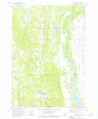
 1973 Meadows1976 Print · USGSMeadows and the surrounding high-country flats of western Idaho are captured here in the early seventies as the region maintained its timber and transport roots. Researchers can trace the Old Railroad Grade and locate historic sites like Meadows Valley Cem and Packer Johns Cabin State Park.2 unique versions available
 - 1973 Map of No Business Mtn, 1976 Print
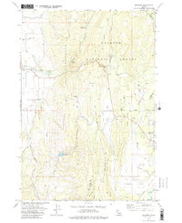
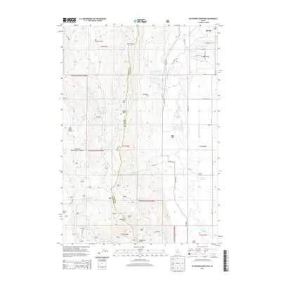
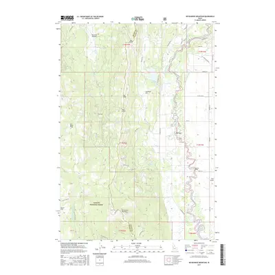
 1973 No Business Mtn1976 Print · USGSValley County’s rugged interior and the agricultural Long Valley are documented here during the early seventies. Genealogists and historians can trace family-named landmarks like Hartsell Bridge and the Old Fort (Ruins) near the North Fork Payette River.2 unique versions available
 - 1973 Map of McCall, 1977 Print
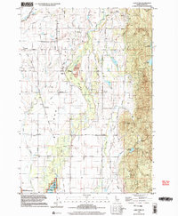
 1973 McCall1977 Print · USGSMid-century McCall and the surrounding Valley County backcountry are documented here as the region evolved into a year-round recreational hub. Researchers can trace the town's footprint from the High Sch to the Union Pacific railhead, while exploring remote landmarks like Cruickshank Reservoir and Cougar Island.5 unique versions available
 - 1973 Map of Lake Fork, 1977 Print
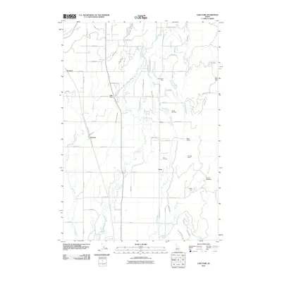
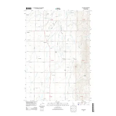
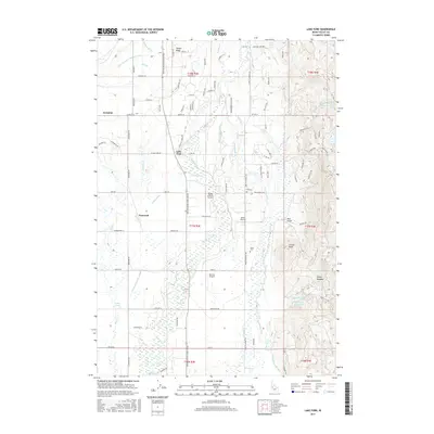
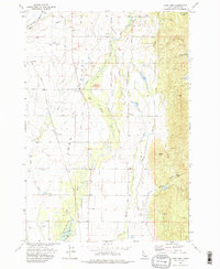 1973 Lake Fork1977 Print · USGSLong Valley was a bustling corridor of irrigation and ranching in the early seventies. Genealogists and researchers can trace local family history at Finn Cem and Spink Cem, or locate the old Union Pacific RR Grade and Landing Strip.2 unique versions available
 - 1980 Map of McCall, 1993 Print
 1980 McCall1993 Print · USGSThe high timber country and glacial lakes of the West Mountains are documented here in the early eighties. Genealogists and local historians can trace the Union Pacific rail line and family-linked sites like Roseberry, Starkey, and the North Hornet Mine.2 unique versions available
 - 1998 Map of Lake Fork, 2003 Print
 1998 Lake Fork2003 Print · USGSLong Valley in the late twentieth century remains a landscape of high-altitude ranching and timber history. Researchers can trace the Old McCall Corp Railroad Grade and locate family history markers at Finn Cem and Spink Cem.
 - 2004 Map of Meadows, 2007 Print
 2004 Meadows2007 Print · USGSMeadows and McCall were reaching a modern equilibrium in the early 2000s as recreation and ranching shaped this Idaho landscape. Researchers can locate the Meadows Valley Cem, the site of Lardo, and the historic Packer Johns Cabin State Park.
 - 2004 Map of McCall, 2007 Print
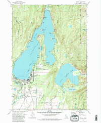
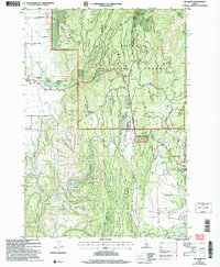
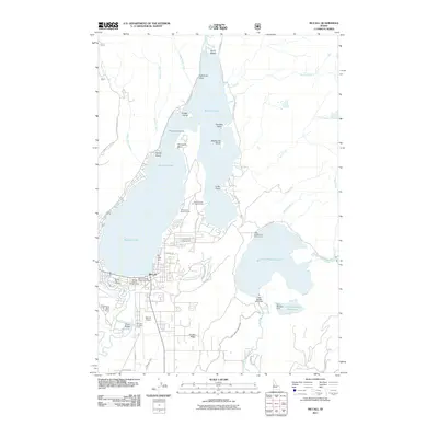
 2004 McCall2007 Print · USGSMcCall sits at the gateway to the Idaho backcountry in this early 2000s survey, where the town meets the shores of Payette Lake. Researchers can trace the development of the McCall Airport or locate local landmarks like the Cem and Ponderosa State Park.
 - 2004 Map of No Business Mountain, 2007 Print
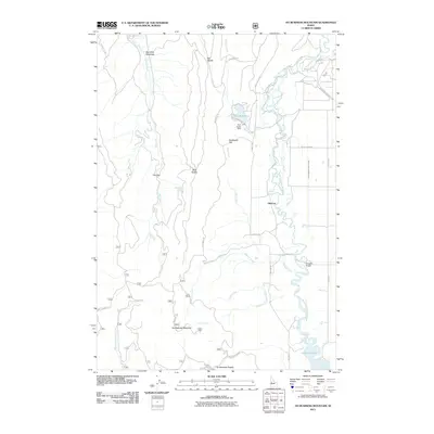
 2004 No Business Mountain2007 Print · USGSValley and Adams Counties are captured here in the early 2000s, showing the high ridge lines above the Payette River valley. Trace historical sites like the Old Fort (Ruins) or the No Business Lookout Tower and explore the irrigation network near Hatz Reservoir.
 - 2010 Map of Lake Fork, 2010 Print
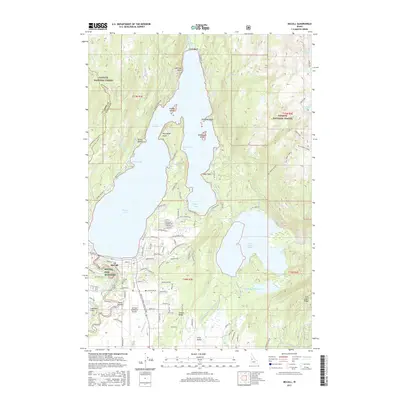
 2010 Lake Fork2010 Print · USGSCovers McCall, including Lake Fork, Valley County, and other nearby areas
 - 2011 Map of No Business Mountain, 2011 Print
 2011 No Business Mountain2011 Print · USGSCovers McCall, including Valley County, Adams County, and other nearby areas
 - 2011 Map of McCall, 2011 Print
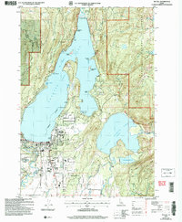
 2011 McCall2011 Print · USGSCovers McCall, including Valley County, Adams County, and other nearby areas
 - 2011 Map of Meadows, 2011 Print
 2011 Meadows2011 Print · USGSCovers McCall, including Meadows, Valley County, and other nearby areas
 - 2013 Map of Lake Fork, 2013 Print
 2013 Lake Fork2013 Print · USGSCovers McCall, including Lake Fork, Valley County, and other nearby areas
 - 2013 Map of McCall, 2013 Print
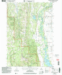
 2013 McCall2013 Print · USGSCovers McCall, including Valley County, Adams County, and other nearby areas
 - 2013 Map of No Business Mountain, 2013 Print
 2013 No Business Mountain2013 Print · USGSCovers McCall, including Valley County, Adams County, and other nearby areas
 - 2013 Map of Meadows, 2013 Print
 2013 Meadows2013 Print · USGSCovers McCall, including Meadows, Valley County, and other nearby areas
 - 2017 Map of Lake Fork, 2017 Print
 2017 Lake Fork2017 Print · USGSCovers McCall, including Lake Fork, Valley County, and other nearby areas
 - 2017 Map of Meadows, 2017 Print
 2017 Meadows2017 Print · USGSCovers McCall, including Meadows, Valley County, and other nearby areas
 - 2017 Map of No Business Mountain, 2017 Print
 2017 No Business Mountain2017 Print · USGSCovers McCall, including Valley County, Adams County, and other nearby areas
 - 2017 Map of McCall, 2017 Print
 2017 McCall2017 Print · USGSCovers McCall, including Valley County, Adams County, and other nearby areas
 - 2020 Map of No Business Mountain, 2020 Print
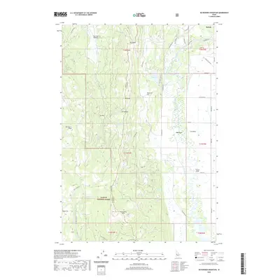 2020 No Business Mountain2020 Print · USGSCovers McCall, including Valley County, Adams County, and other nearby areas
Showing maps 1-25 of 33
Top cities near McCall
Frequently asked questions
- What are the different types of historical maps available for McCall?
- What is the oldest map of McCall?
- Where can I purchase historical maps of McCall for my home or office?
- Where can I download high-res historical maps of McCall?
- Are there historical topographic maps available for McCall?
- Is there historical aerial imagery available for McCall?
- Where are historical maps of McCall sourced from?