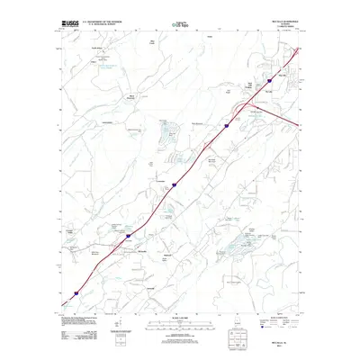
2011 Map of McCalla
USGS Topo · Published 2011About this map
Jones Valley and the surrounding ridges of Rock Mountain and McAshan Mountain anchor this portrait of southwestern Jefferson County. The industrial legacy of the region is evident in the northern reaches near Johns and North Johns, where the Slurry Impoundment - Johns Washer sits along the banks of Blue Creek. This landscape is a mix of long-established settlements and managed water resources, characterized by a high density of small reservoirs and dams, such as the McCalla Lake Dam and Kimbrell Lake Dam.
Find a feature on this map
166 named features on this map. Tap any name to fly to it.
Don’t see what you’re looking for? This feature index may not catch every label — zoom into the map to look around manually.
Map Details
Editions of this 2011 McCalla Map
This is the sole edition of this map. No revisions or reprints were ever made.
Other maps of this area

1890 · Bessemer
USGS Topo · 1:125,000

1892 · Bessemer
USGS Topo · 1:125,000

1899 · Brookwood
USGS Topo · 1:125,000

1905 · Bessemer Iron District
USGS Topo · 1:62,500

1907 · Bessemer Special
USGS Topo · 1:62,500

1910 · Montevallo
USGS Topo · 1:62,500

1927 · Adger
USGS Topo · 1:48,000

1932 · Yolande
USGS Topo · 1:62,500

1934 · Blocton
USGS Topo · 1:48,000

1935 · Yolande
USGS Topo · 1:62,500