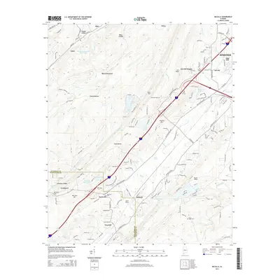
2014 Map of McCalla
USGS Topo · Published 2014About this map
Black Diamond and Lawsontown anchor this industrial and rural landscape southwest of Bessemer, where the geography is defined by the ridge-and-valley structures of Rock Mountain and McAshan Mountain. The map reveals a complex water management system associated with the area's industrial history, notably the Slurry Impoundment Johns Washer near North Johns and Johns. These features, alongside the numerous small water bodies like Rock Lakes and McKelvey Lakes, illustrate the intersection of natural drainage and human modification in Jones Valley.
Find a feature on this map
157 named features on this map. Tap any name to fly to it.
Don’t see what you’re looking for? This feature index may not catch every label — zoom into the map to look around manually.
Map Details
Editions of this 2014 McCalla Map
This is the sole edition of this map. No revisions or reprints were ever made.
Other maps of this area

1890 · Bessemer
USGS Topo · 1:125,000

1892 · Bessemer
USGS Topo · 1:125,000

1899 · Brookwood
USGS Topo · 1:125,000
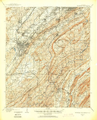
1905 · Bessemer Iron District
USGS Topo · 1:62,500
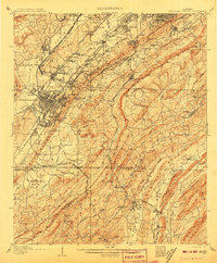
1907 · Bessemer Special
USGS Topo · 1:62,500
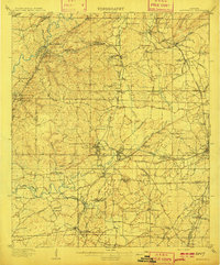
1910 · Montevallo
USGS Topo · 1:62,500
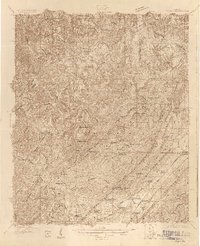
1927 · Adger
USGS Topo · 1:48,000
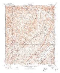
1932 · Yolande
USGS Topo · 1:62,500
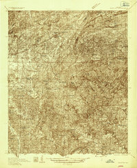
1934 · Blocton
USGS Topo · 1:48,000
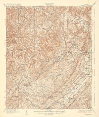
1935 · Yolande
USGS Topo · 1:62,500