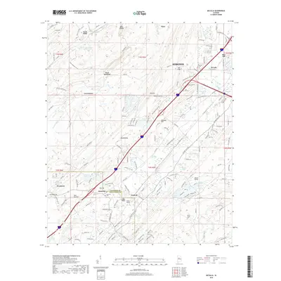
2018 Map of McCalla
USGS Topo · Published 2018About this map
Bessemer and the industrial landscapes of the Alabama iron and coal belt define this 2018 survey. The terrain is structured by the parallel ridges of Rock Mtn and West Red Mtn, with settlements like Black Diamond and North Johns marking the history of local extraction. A notable industrial feature is the Slurry Impoundment Johns Washer near the northern edge, indicating the enduring footprint of mining operations. In the southern portion, the map captures the transition into Jones Valley and Shades Valley, where smaller communities such as Bucksville and Kimbrell are situated. Numerous cemeteries, including Bucksville Cem and Marvin Chapel Cem, offer critical data points for genealogists tracking families across the Jefferson and Tuscaloosa County line. The hydrology is dominated by Blue Creek and Shades Creek, which navigate the gaps and valleys of this geologically complex region.
Find a feature on this map
159 named features on this map. Tap any name to fly to it.
Don’t see what you’re looking for? This feature index may not catch every label — zoom into the map to look around manually.
Map Details
Editions of this 2018 McCalla Map
This is the sole edition of this map. No revisions or reprints were ever made.
Other maps of this area

1890 · Bessemer
USGS Topo · 1:125,000

1892 · Bessemer
USGS Topo · 1:125,000

1899 · Brookwood
USGS Topo · 1:125,000

1905 · Bessemer Iron District
USGS Topo · 1:62,500

1907 · Bessemer Special
USGS Topo · 1:62,500

1910 · Montevallo
USGS Topo · 1:62,500

1927 · Adger
USGS Topo · 1:48,000

1932 · Yolande
USGS Topo · 1:62,500

1934 · Blocton
USGS Topo · 1:48,000

1935 · Yolande
USGS Topo · 1:62,500