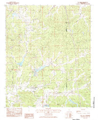
1983 Map of McCarley
USGS Topo · Published 1984About this map
McCarley serves as the central hub of this North Mississippi landscape during the early 1980s, situated along the Columbus and Greenville railroad line. The settlement pattern is defined by rural community centers and family-named landmarks, such as the McCarley Community Center and several localized places of worship including Hickory Grove Ch and Ambrose Ch. The terrain is deeply carved by a dense network of waterways, including Magic Creek, Thompson Creek, and Bear Den Creek, which dictate the winding paths of the local road system.
Find a feature on this map
30 named features on this map. Tap any name to fly to it.
Don’t see what you’re looking for? This feature index may not catch every label — zoom into the map to look around manually.
Map Details
Editions of this 1983 McCarley Map
This is the sole edition of this map. No revisions or reprints were ever made.
Other maps of this area

1953 · West Point
USGS Topo · 1:250,000

1954 · Duck Hill
USGS Topo · 1:62,500

1954 · McCarley
USGS Topo · 1:62,500

1958 · West Point
USGS Topo · 1:250,000

1963 · West Point
USGS Topo · 1:250,000

1966 · Winona
USGS Topo · 1:24,000

1968 · Winona
USGS Topo · 1:62,500
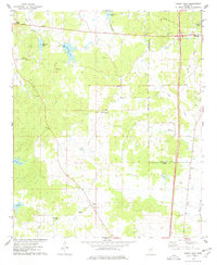
1975 · Bailey Lake
USGS Topo · 1:24,000
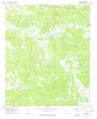
1975 · Coila
USGS Topo · 1:24,000
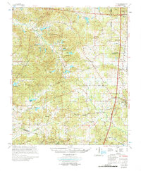
1978 · Coila
USGS Topo · 1:62,500