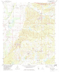
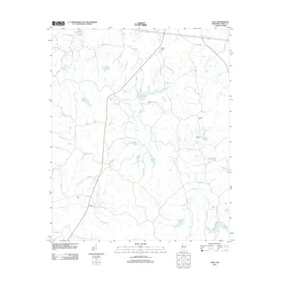
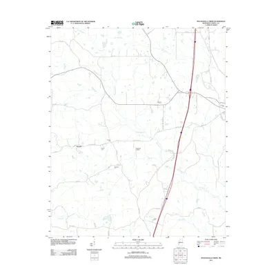
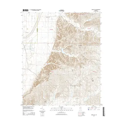
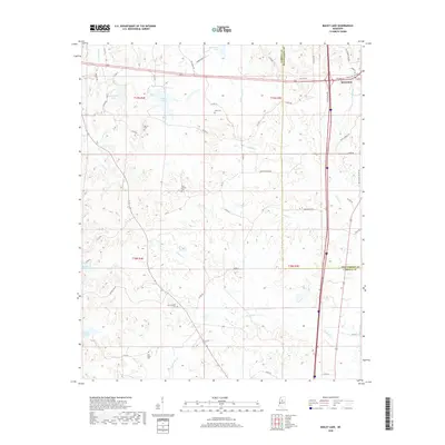
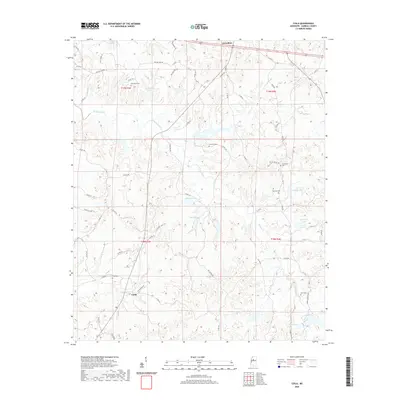
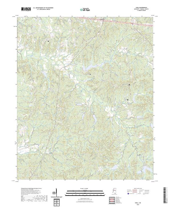
1975 Map of Coila
USGS Topo · Published 1978About this map
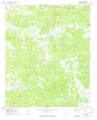
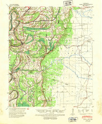
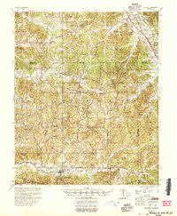
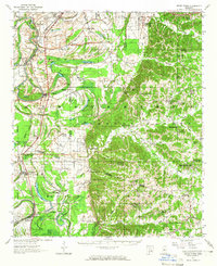
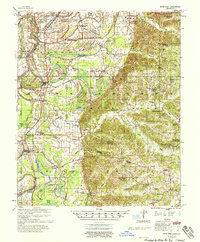
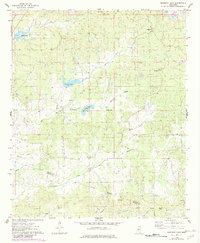
Carrollton anchors the northern edge of this Carroll County landscape, overlooking a terrain defined by the winding paths of Pelucia Creek and Ashley Creek. The mid-1970s survey captures a rural network of family-named landmarks and small water bodies, including Gee Lake, Shackelford Lake, and Costilow Lake. Evidence of local community life is found in several country cemeteries and churches, such as Enon Ch and Poplar Springs Ch, which appear alongside the small settlement of Coila and its nearby Coila Cem.
Find a feature on this map
30 named features on this map. Tap any name to fly to it.
Don’t see what you’re looking for? This feature index may not catch every label — zoom into the map to look around manually.
Map Details
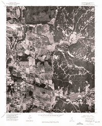
Editions of this 1975 Coila Map
2 editions found
Historical Maps of Carrollton Through Time
48 maps found
1940 Seven Pines
Carroll County, MS
1954 McCarley
Carroll County, MS
1957 Seven Pines
Carroll County, MS
1958 Seven Pines
Carroll County, MS
1974 Greenwood SE
Carroll County, MS
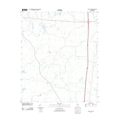
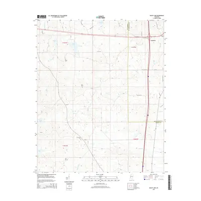
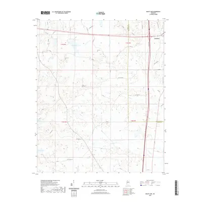
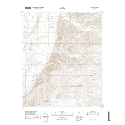
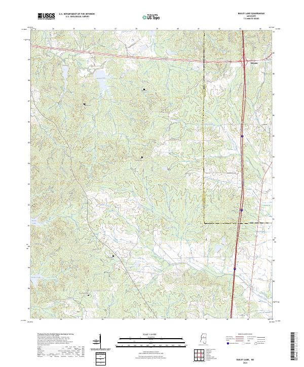
1975 Bailey Lake
Carroll County, MS
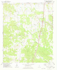
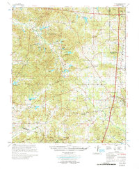
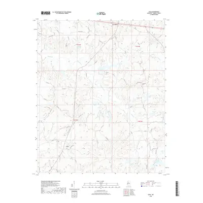
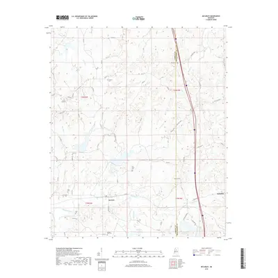
1975 Coila
Carroll County, MS
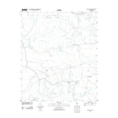
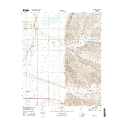
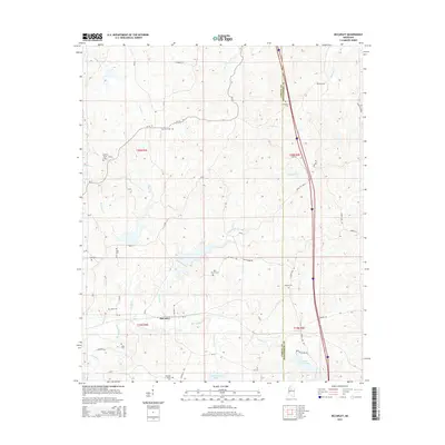
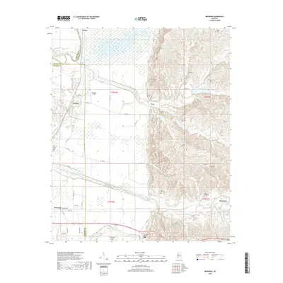
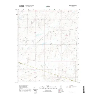
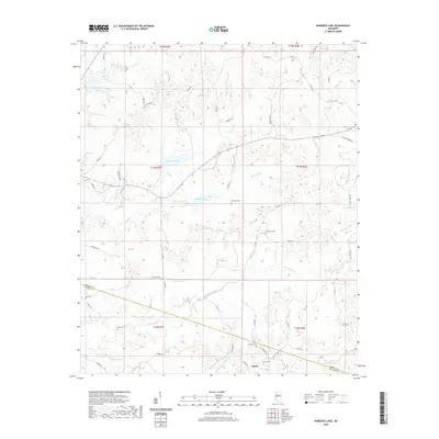
1975 Murdock Lake
Carroll County, MS
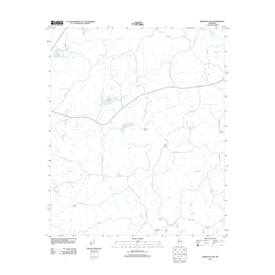
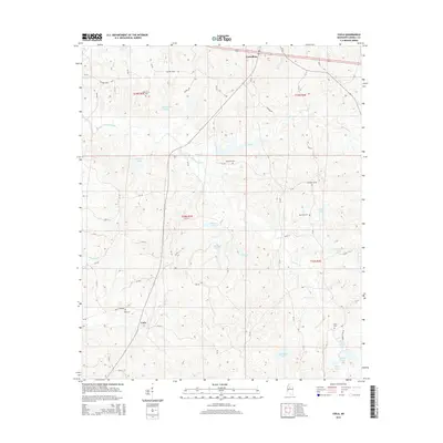
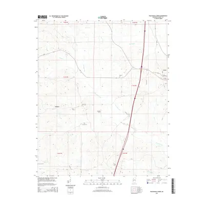
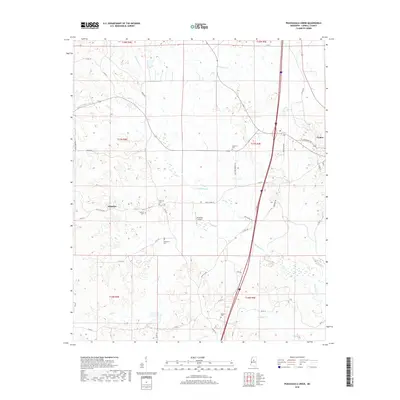
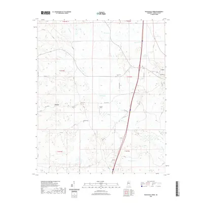
1975 Peachahala Creek
Carroll County, MS
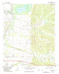
1978 Coila
Carroll County, MS
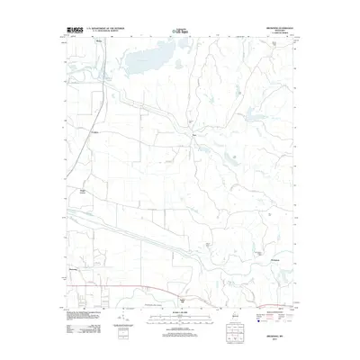
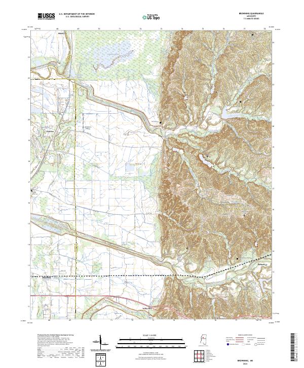
1982 Browning
Carroll County, MS
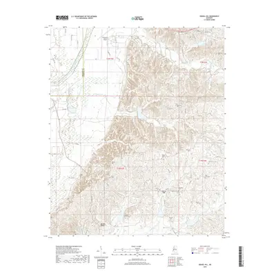
1982 Gravel Hill
Carroll County, MS
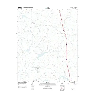
1983 McCarley
Carroll County, MS
2012 Bailey Lake
Carroll County, MS
2012 Browning
Carroll County, MS
2012 Coila
Carroll County, MS
2012 Gravel Hill
Carroll County, MS
2012 McCarley
Carroll County, MS
2012 Murdock Lake
Carroll County, MS
2012 Peachahala Creek
Carroll County, MS
2015 Bailey Lake
Carroll County, MS
2015 Browning
Carroll County, MS
2015 Coila
Carroll County, MS
2015 Gravel Hill
Carroll County, MS
2015 McCarley
Carroll County, MS
2015 Murdock Lake
Carroll County, MS
2015 Peachahala Creek
Carroll County, MS
2018 Bailey Lake
Carroll County, MS
2018 Browning
Carroll County, MS
2018 Coila
Carroll County, MS
2018 Gravel Hill
Carroll County, MS
2018 McCarley
Carroll County, MS
2018 Murdock Lake
Carroll County, MS
2018 Peachahala Creek
Carroll County, MS
2020 Bailey Lake
Carroll County, MS
2020 Coila
Carroll County, MS
2020 Gravel Hill
Carroll County, MS
2020 McCarley
Carroll County, MS
2020 Murdock Lake
Carroll County, MS
2020 Peachahala Creek
Carroll County, MS

2021 Browning
Carroll County, MS
2024 Bailey Lake
Carroll County, MS
2024 Browning
Carroll County, MS
2024 Coila
Carroll County, MS
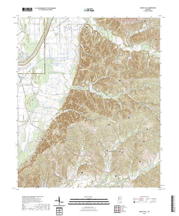
2024 Gravel Hill
Carroll County, MS
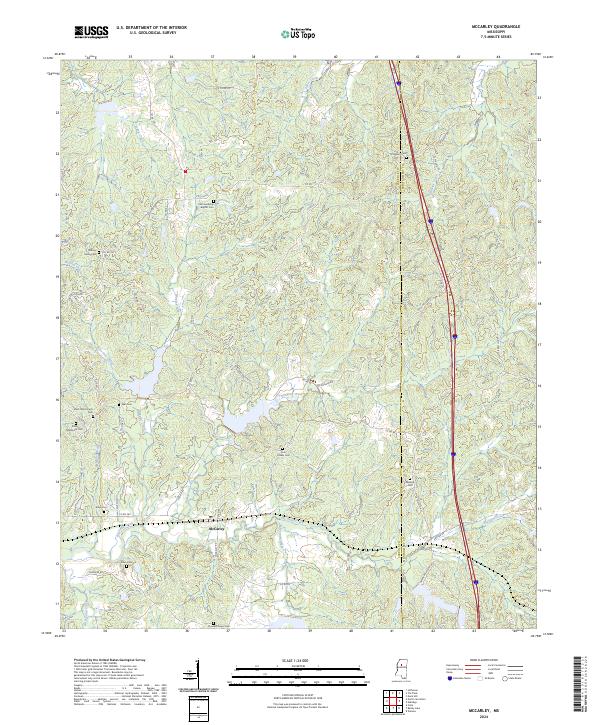
2024 McCarley
Carroll County, MS
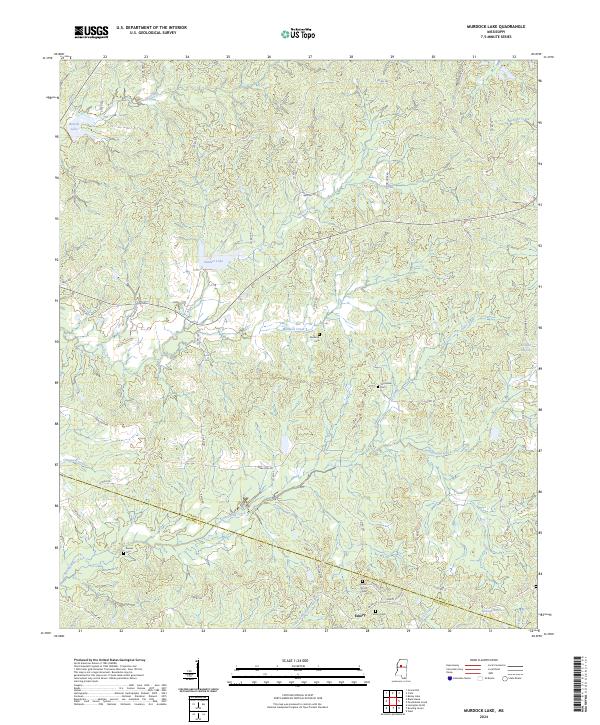
2024 Murdock Lake
Carroll County, MS
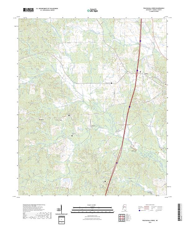
2024 Peachahala Creek
Carroll County, MS