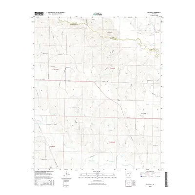
2014 Map of McCaskill
USGS Topo · Published 2014About this map
McCaskill anchors the eastern edge of this Hempstead County landscape, where the town grid meets the rural road network at the junction of Us-371 and local routes like Hempstead 28 Rd. The terrain is defined by a dense system of waterways and small lakes, including Stanley Lake Number One, Stanley Lake Number Two, and Erwin Lake, which drain into the N Fork Ozan Cr. To the north, the winding course of Hickory Cr and the Little Missouri River trace the natural boundary between Pike and Hempstead counties.
Find a feature on this map
67 named features on this map. Tap any name to fly to it.
Don’t see what you’re looking for? This feature index may not catch every label — zoom into the map to look around manually.
Map Details
Editions of this 2014 McCaskill Map
This is the sole edition of this map. No revisions or reprints were ever made.
Other maps of this area

1906 · Caddo Gap
USGS Topo · 1:125,000

1951 · Blevins
USGS Topo · 1:24,000

1951 · Columbus
USGS Topo · 1:24,000

1951 · Nashville
USGS Topo · 1:24,000

1951 · Washington
USGS Topo · 1:24,000

1951 · Pisgah
USGS Topo · 1:24,000

1951 · McCaskill
USGS Topo · 1:24,000

1953 · El Dorado
USGS Topo · 1:250,000

1955 · Little Rock
USGS Topo · 1:250,000

1956 · Little Rock
USGS Topo · 1:250,000