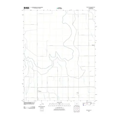
2010 Map of McClave
USGS Topo · Published 2010About this map
McClave serves as the primary hub of this agricultural landscape in Bent County, defined by a sophisticated network of irrigation and drainage infrastructure essential to High Plains farming. The settlement of Keesee and the community at Big Bend anchor the eastern portions of the quadrangle, while the natural courses of Limestone Creek and Graveyard Creek meander through a strictly gridded system of county roads. The importance of water management is evident in the named channels like the Sunflower Ditch, Riverview Ditch, and the McClave Drainage Ditch. These man-made features, alongside the Fort Lyon Canal Rd, illustrate the transformation of the arid Colorado terrain into a productive rural corridor where every drop of moisture is carefully directed and utilized.
Find a feature on this map
27 named features on this map. Tap any name to fly to it.
Don’t see what you’re looking for? This feature index may not catch every label — zoom into the map to look around manually.
Map Details
Editions of this 2010 McClave Map
This is the sole edition of this map. No revisions or reprints were ever made.
Other maps of this area

1892 · Lamar
USGS Topo · 1:125,000

1952 · Lamar West
USGS Topo · 1:24,000

1953 · Hasty
USGS Topo · 1:24,000

1953 · Prowers
USGS Topo · 1:24,000

1954 · Lamar
USGS Topo · 1:250,000

1955 · McClave
USGS Topo · 1:24,000

1955 · Lubers
USGS Topo · 1:24,000

1955 · Wiley
USGS Topo · 1:24,000

1958 · Lamar
USGS Topo · 1:250,000

1967 · Neenoshe Reservoir
USGS Topo · 1:24,000