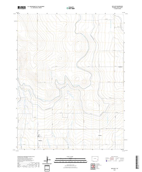
2022 Map of McClave
USGS Topo · Published 2022About this map
McClave and the surrounding agricultural lands of Bent County are defined by a complex network of irrigation infrastructure essential to the High Plains. The landscape is dominated by the arterial Fort Lyon Canal and its associated Fort Lyon Canal RD, which move water through the territory to support local ranching and farming. Other critical water management features include the Kicking Bird Canal, Sunflower Ditch, and Riverview Ditch, illustrating how the arid geography has been adapted for settlement. Natural drainages like Graveyard Cr and Limestone Cr cut through the sections, while the small settlements of Big Bend and Keesee mark the sparse but intentional population centers along the rural road grid, including Oak St. The prominence of named drainage projects such as the McClave Drainage Ditch highlights the community's historical focus on soil management and water control.
Find a feature on this map
37 named features on this map. Tap any name to fly to it.
Don’t see what you’re looking for? This feature index may not catch every label — zoom into the map to look around manually.
Map Details
Editions of this 2022 McClave Map
This is the sole edition of this map. No revisions or reprints were ever made.
Other maps of this area

1892 · Lamar
USGS Topo · 1:125,000

1952 · Lamar West
USGS Topo · 1:24,000

1953 · Hasty
USGS Topo · 1:24,000

1953 · Prowers
USGS Topo · 1:24,000

1954 · Lamar
USGS Topo · 1:250,000

1955 · McClave
USGS Topo · 1:24,000

1955 · Lubers
USGS Topo · 1:24,000

1955 · Wiley
USGS Topo · 1:24,000

1958 · Lamar
USGS Topo · 1:250,000

1967 · Neenoshe Reservoir
USGS Topo · 1:24,000