2024 Map of McClellanville
USGS Topo · Published 2024About this map
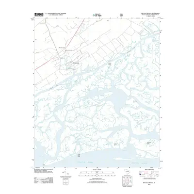
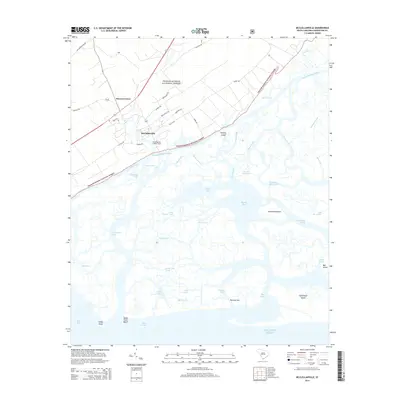
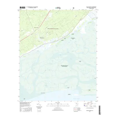
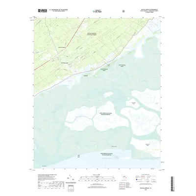
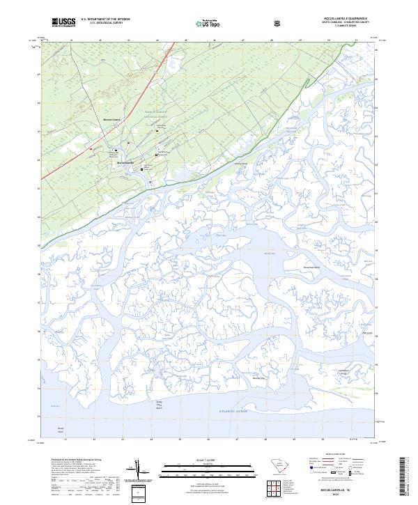
McClellanville serves as the focal point for this coastal survey, where the terrestrial edge of the Francis Marion National Forest meets the intricate marshlands of the Cape Romain National Wildlife Refuge. The map reveals a high density of sites significant to local genealogy and heritage, particularly the cluster of burial grounds including Saint James Santee Parish Cem, Bethel AME Church Cem, and the Old Bethel AME Church Cem. These landmarks, along with the McClellanville Methodist Church Cem, underscore the deep-rooted community history within the McClellanville village limits.
Find a feature on this map
67 named features on this map. Tap any name to fly to it.
Don’t see what you’re looking for? This feature index may not catch every label — zoom into the map to look around manually.
Map Details
Editions of this 2024 McClellanville Map
This is the sole edition of this map. No revisions or reprints were ever made.
Historical Maps of McClellanville Through Time
5 maps found