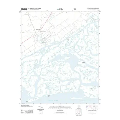
2011 Map of McClellanville
USGS Topo · Published 2011About this map
McClellanville sits at the heart of this coastal survey, defined by its relationship to the surrounding marshlands and the Intracoastal Waterway. The town's grid, featuring streets such as Drayton St and Oak St, is bordered by the Wambaw District Ranger Office and the McClellanville Lookout Tower, signaling the area's proximity to forest management lands. To the north, the settlement of Moores Corner marks the transition from inland road networks to the tidal landscape.
Find a feature on this map
57 named features on this map. Tap any name to fly to it.
Don’t see what you’re looking for? This feature index may not catch every label — zoom into the map to look around manually.
Map Details
Editions of this 2011 McClellanville Map
This is the sole edition of this map. No revisions or reprints were ever made.
Other maps of this area

1919 · Bulls Island
USGS Topo · 1:21,120

1942 · Cape Romain
USGS Topo · 1:24,000

1942 · Mc Clellanville
USGS Topo · 1:24,000

1942 · Honey Hill
USGS Topo · 1:24,000

1943 · Bulls Island
USGS Topo · 1:24,000

1943 · Santee
USGS Topo · 1:24,000

1943 · Awendaw
USGS Topo · 1:24,000

1943 · Minim Island
USGS Topo · 1:24,000

1948 · James Island
USGS Topo · 1:250,000

1949 · Georgetown
USGS Topo · 1:250,000