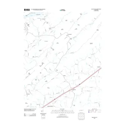
2013 Map of McCloud
USGS Topo · Published 2013About this map
McCloud and Chalk Level anchor the northern landscape of this Hawkins County region, where the terrain transitions from the waters of Cherokee Lake and the McKinneys Shoals into a series of distinctive ridges and hollows. The settlement pattern follows the contours of the land, with small communities like Grigsby and Enterprise situated near prominent heights such as Kite Mountain and Louderback Mountain. To the south, the geography becomes more defined by significant elevations like Big Mountain and the Pilot Knobs, which separate the northern drainage of Louderback Cr from the southern valleys near Mount Carmel and Brotherton. The map documents a dense network of local roads and named hollows, including Cooter Hollow and Heck Hollow, reflecting the deep-rooted rural development and family-named landmarks characteristic of east Tennessee. Notable water features like Malone Lake and Lick Cr further define the southern reaches of the quadrangle near the border of Greene County.
Find a feature on this map
143 named features on this map. Tap any name to fly to it.
Don’t see what you’re looking for? This feature index may not catch every label — zoom into the map to look around manually.
Map Details
Editions of this 2013 McCloud Map
This is the sole edition of this map. No revisions or reprints were ever made.
Other maps of this area

1883 · Morristown
USGS Topo · 1:125,000

1892 · Greeneville
USGS Topo · 1:125,000

1893 · Morristown
USGS Topo · 1:125,000

1895 · Morristown
USGS Topo · 1:125,000

1896 · Greeneville
USGS Topo · 1:125,000

1904 · Greeneville
USGS Topo · 1:125,000

1935 · Surgoinsville
USGS Topo · 1:48,000

1935 · Baileyton
USGS Topo · 1:24,000

1935 · Rogersville
USGS Topo · 1:48,000

1935 · McCloud
USGS Topo · 1:24,000